More than eight miles of hiking . . . all before noon
Late Saturday night I saw a post in the Forums about Chuy! and Jahoadi and CTYankee meeting at 6:45 in the morning to tackle the caches on Sycuan Peak. This is the mountain I see from my backyard, and the peak that has held two impossible-for-me-to-solve puzzle caches for the past several weeks. So I set my alarm and planned to meet the group at my cache, "Only Two Redeeming Qualities," that marks the parking area off that very narrow, winding road.
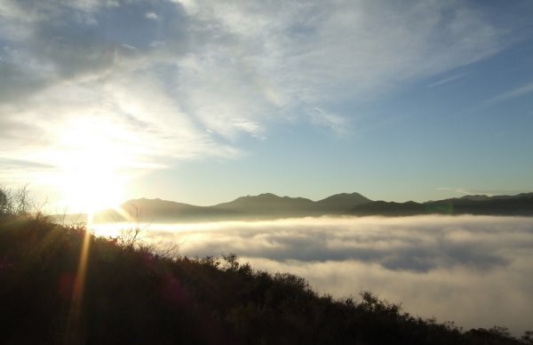
At my house, it was bright and sunny, but at the trailhead, a few hundred feet lower in elevation, we were shrouded in fog and it was cold. However, we soon were above the marine layer since the eroded trail climbs steeply.
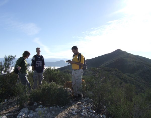
CTYankee needed all the caches on the peak, Jahoadi needed a few of them, and Chuy! needed the most recent ones, so we stopped at each cache location on the way up, including the two I placed, one of which had migrated a bit from its original hiding place. It is always interesting to see what happens to your own caches on a revisit . . .
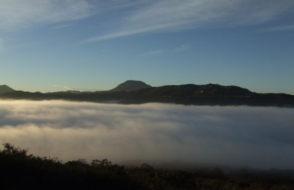
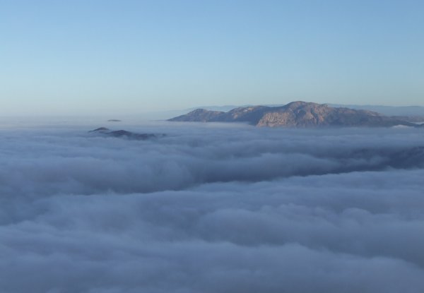
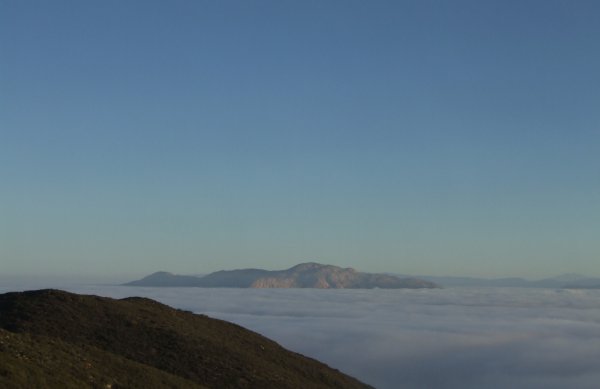
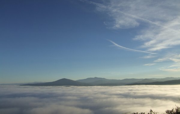
The higher we climbed, the more beautiful the views became. El Cajon Mountain looked like an island emerging above the white, cotton-candy fog.
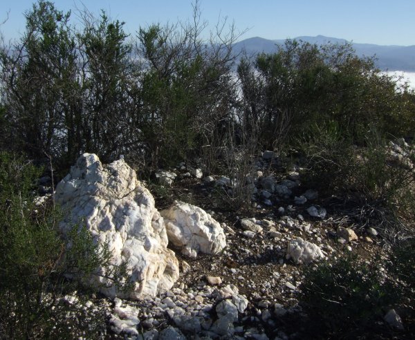
TrailGators placed his very difficult, troublesome-for-more-than-me Puzzle cache in a cool location near some interesting outcrops of quartz, where we also saw some embeded coal . . . at least that is what CTYankee thought the hard, black substance was.
That cache location was quite a distance west of the mountain's
peak.
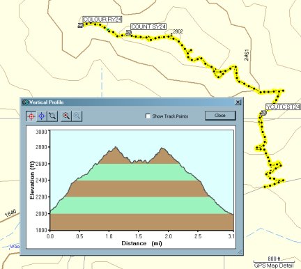
This is what our Sycuan tracks and profile looked like:
After the hike to the top of Sycuan Peak and down the other side, we went to Horsethief Canyon where I hiked another five plus miles, hitting a trail near the staging area I had not hiked before.
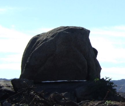
Near the beginning of our hike, we saw this "levitating rock."
Jodi planted a new cache near the beginning of our hike, and at the end of the hike, I finally did my cache maintenance, replacing a missing cache and replacing another one that burned up in the fire.
When CTYankee and I arrived at that location, I hardly recognized the oak tree and its surroundings. The cache's name is "Shady Rest," and although the tree will recover, it sure doesn't have the same "Shady Rest" feeling it had before the devastating fire.
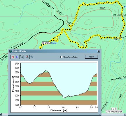
The track and profile are backwards . . . showing what I did last first, but most of the distance I traveled is included.
I played with the tracks in Mapsource for a while . . . actually quite a while . . . but could not get them linked correctly to show what I did first first, and what I did last to show up at the end of the profile picture. I finally gave up . . .
I had a fun day and it was great to finally meet CTYankee9 and Piglet9 since I've been collecting his cool tokens ever since I found the first one a few months ago.
At my house, it was bright and sunny, but at the trailhead, a few hundred feet lower in elevation, we were shrouded in fog and it was cold. However, we soon were above the marine layer since the eroded trail climbs steeply.

CTYankee needed all the caches on the peak, Jahoadi needed a few of them, and Chuy! needed the most recent ones, so we stopped at each cache location on the way up, including the two I placed, one of which had migrated a bit from its original hiding place. It is always interesting to see what happens to your own caches on a revisit . . .

The higher we climbed, the more beautiful the views became. El Cajon Mountain looked like an island emerging above the white, cotton-candy fog.


TrailGators placed his very difficult, troublesome-for-more-than-me Puzzle cache in a cool location near some interesting outcrops of quartz, where we also saw some embeded coal . . . at least that is what CTYankee thought the hard, black substance was.

That cache location was quite a distance west of the mountain's
peak.

This is what our Sycuan tracks and profile looked like:

After the hike to the top of Sycuan Peak and down the other side, we went to Horsethief Canyon where I hiked another five plus miles, hitting a trail near the staging area I had not hiked before.
Near the beginning of our hike, we saw this "levitating rock."

Jodi planted a new cache near the beginning of our hike, and at the end of the hike, I finally did my cache maintenance, replacing a missing cache and replacing another one that burned up in the fire.
When CTYankee and I arrived at that location, I hardly recognized the oak tree and its surroundings. The cache's name is "Shady Rest," and although the tree will recover, it sure doesn't have the same "Shady Rest" feeling it had before the devastating fire.

The track and profile are backwards . . . showing what I did last first, but most of the distance I traveled is included.
I played with the tracks in Mapsource for a while . . . actually quite a while . . . but could not get them linked correctly to show what I did first first, and what I did last to show up at the end of the profile picture. I finally gave up . . .
I had a fun day and it was great to finally meet CTYankee9 and Piglet9 since I've been collecting his cool tokens ever since I found the first one a few months ago.


1 Comments:
Tiptop blog, I like it
keep it up!
acwo
http://tytka.blogspot.com
By acwo, at 9:33 AM
Post a Comment
<< Home