Four geocaches and two Terracaches found on an eight-mile hike
I haven't been feeling well this week, so when 3cd's suggested this hike today, I was happy for the diversion. We got started down the bumpy and washboardy Proctor Valley Road about 8:30 in the morning. The low clouds and fog had burned off, but the cool marine air was still present, so the temperature was just about perfect for this hike. I made this hike in March with Team Adelos, so had found some of the caches 3cd's still needed to find. I also remembered where a Puzzle cache was and I thought that would be a good place to leave a White Jeep TB tag I picked up the other day.
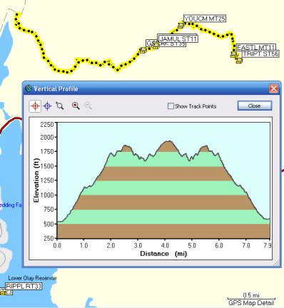
The hike goes steadily up, up, up as shown by the Profile:
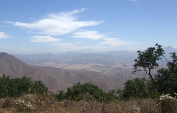
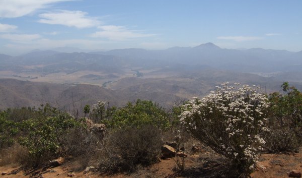
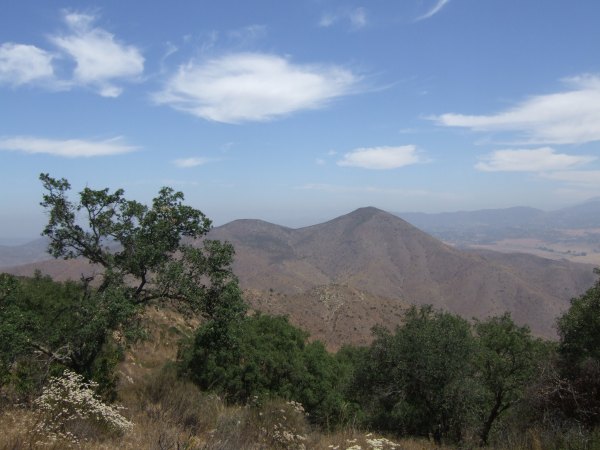
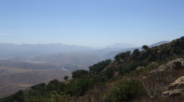
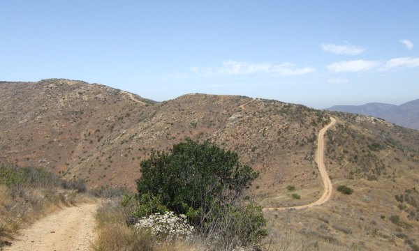
It was hazy, but I still got some pretty great photos, even if I do say so myself. In fact, I formatted one of these to be the new "Wallpaper" on my laptop.
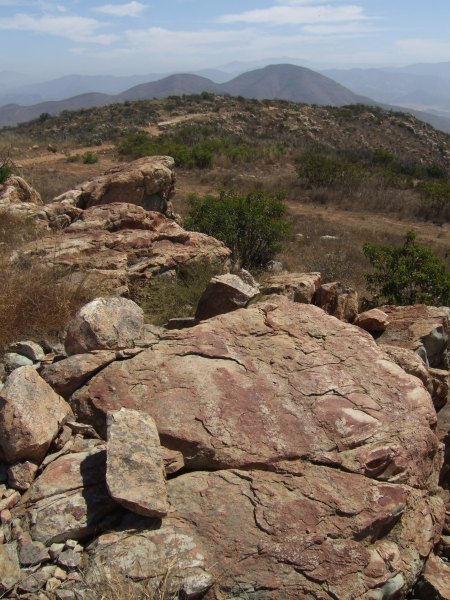
At one of the cache locations, the rocks looked very ancient.
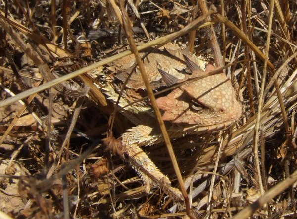
Near one of the caches, we found this not-very-happy-looking horned lizard.
At the point where the trail went down, I reset the Trip Computer on the GPSr because I was curious how far we would actually go to get to the cache that was .67 away, as the crow flies, on this lonely road.
It turned out we traveled just over a mile to get to the final caches, a Terracache, "Eastlake/Otay View," and "Trip to the MOON.......by the BBB."
On the uphill portions of the return trip, I could sure feel the strain on my thigh muscles. This is the toughest eight-mile hike I have done for a while in my Chaco sandals. They were very comfortable and since the pair I wore today are almost new, the Vibram soles were very grippy. Some of the sections of the trail were very soft, powdery dirt, as a result of off-road vehicles going up and down the road, so when I got home and took my shower, I had to use my shoe brush on both my feet, and the sandals, to get them clean.
My thanks to 3cd's for driving that rough road down to the trailhead and for being my motivation to get to the top of that peak.
The hike goes steadily up, up, up as shown by the Profile:
It was hazy, but I still got some pretty great photos, even if I do say so myself. In fact, I formatted one of these to be the new "Wallpaper" on my laptop.


At one of the cache locations, the rocks looked very ancient.
Near one of the caches, we found this not-very-happy-looking horned lizard.

At the point where the trail went down, I reset the Trip Computer on the GPSr because I was curious how far we would actually go to get to the cache that was .67 away, as the crow flies, on this lonely road.

It turned out we traveled just over a mile to get to the final caches, a Terracache, "Eastlake/Otay View," and "Trip to the MOON.......by the BBB."
On the uphill portions of the return trip, I could sure feel the strain on my thigh muscles. This is the toughest eight-mile hike I have done for a while in my Chaco sandals. They were very comfortable and since the pair I wore today are almost new, the Vibram soles were very grippy. Some of the sections of the trail were very soft, powdery dirt, as a result of off-road vehicles going up and down the road, so when I got home and took my shower, I had to use my shoe brush on both my feet, and the sandals, to get them clean.
My thanks to 3cd's for driving that rough road down to the trailhead and for being my motivation to get to the top of that peak.


0 Comments:
Post a Comment
<< Home