Hot hike up and around Mt. Woodson
The week before, when it was getting up to 107° in the Ramona area, Auld Pro, "lostguy", and I were going to hike Mt. Woodson. Thank goodness someone, Auld Pro, decided going closer to the coast was a better idea for that day.
So now, a week late, I met up with "lostguy" and Auld Pro in Spring Valley for our Mt. Woodson adventure. Shortly after piling into "lostguy"'s truck, I realized my GPSr was missing. I'm glad we didn't go back to my car for it since it turned out the GPSr was sitting on the ground where it fell off my pack as I put it in my car back at home.
The parking "area" for the Mt. Woodson trails is right along the busy 67 Highway, and we saw piles of broken glass, just like those at the Iron Mountain trailhead, where cars have been broken into by slimeballs who take advantage of people out hiking the trails. We made sure nothing was visible in the truck before locking it up and starting out.
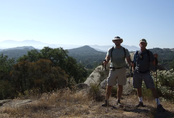
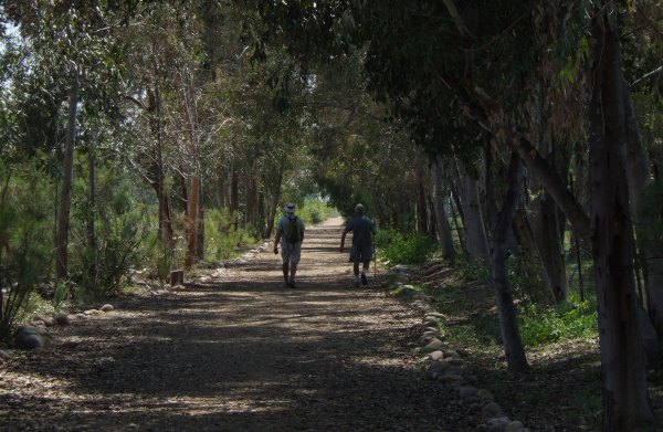
My companions were very generous to me today because each of them had found nearly all the caches along the trails, yet they stopped at each location for me to look for the cache. Fortunately, the caches were easy to find, or Auld Pro would make sure I found the container, so it didn't take a lot of time for me to sign the log, except for one fairly long side-trip we had to take to get to "Ramona Breezes" where I took this picture of my companions.
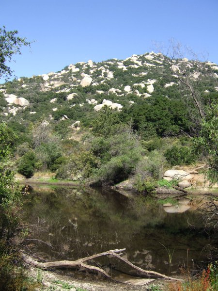
I took a lot of other pictures during our many-mile hike. This was of the pond where a new cache "No Waterskiing Here" had been placed since Princess Toadstool and I were here in 2005 to find the "original" Woody caches.
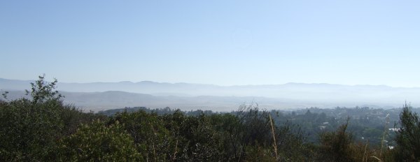
The views were hazy today, but the panoramas we saw along the trails were frequently spectacular.
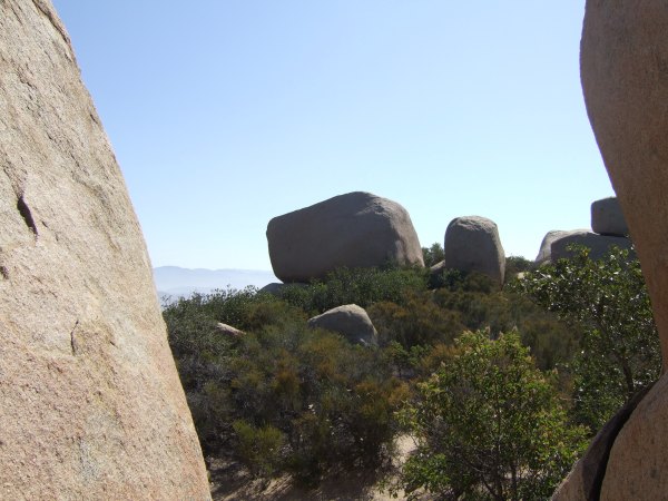
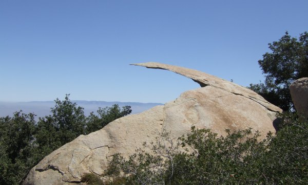
I really love the huge, spheroidally-weathered boulders that are found all over Mt. Woodson and which make the hike a fun one.
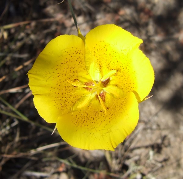
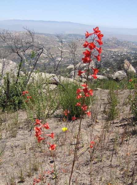
In the area that burned in last October's "Witch Creek" fire, there were many wildflowers blooming, flowers that don't get a chance to emerge in the dense, fully-mature chapparal.
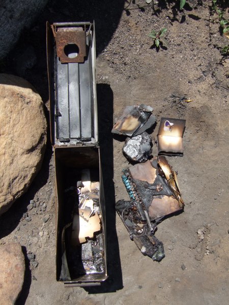
Two of the caches I found in the burn area showed evidence of the fire. The other container and its contents, although it smelled "toxic" was in better condtion than the container for "Collette's Last View."
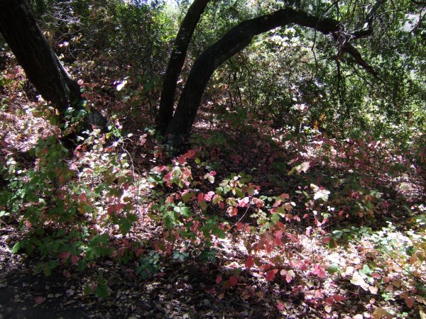
We took a different trail back that took us through many shady areas with mature oak trees and "healthy" patches of poison oak. This area was dangerous, but photogenic.
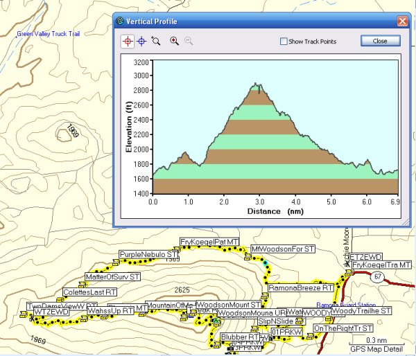
We emerged from the trail near the golf course, hot and tired, and somewhat anxious to see if the glass in the truck was intact. We had almost half a mile to walk up the busy road to see that it was. Thanks to Auld Pro, who sent me the tracks he recorded on his new Legend HCx, I have the Profile of our hike:
On our way back to the meeting place in Spring Valley, we stopped in Lakeside to get the recently-placed caches along the walkway in the River Park. There were ten caches along that trail, only part of which was cool and shady.
I wanted to be able to whistle for the truck and have it meet us where the trail emerged onto the road, but alas, it wasn't fitted with that option, so we had to walk, and walk, and walk back to it and the relief offered by its air conditioning.
All together, I found more than 30 caches today and it took a long time to log all of them as I attempted to write something unique for each cache.
I am very grateful to "lostguy" for doing all the driving today, and grateful to both "lostguy" and Auld Pro for their kindness in making sure I found the caches they had already found, even though I didn't have my GPSr. Since the location of my Vista HCx was a bit of a mystery throughout the day, I was happy to see it on the ground next to where I park my car back home. I'm sure glad when it fell from my pack it bounced away from the car instead of under it where it might have been crushed between the tires as I drove out at 6:45 in the morning . . .
So now, a week late, I met up with "lostguy" and Auld Pro in Spring Valley for our Mt. Woodson adventure. Shortly after piling into "lostguy"'s truck, I realized my GPSr was missing. I'm glad we didn't go back to my car for it since it turned out the GPSr was sitting on the ground where it fell off my pack as I put it in my car back at home.
The parking "area" for the Mt. Woodson trails is right along the busy 67 Highway, and we saw piles of broken glass, just like those at the Iron Mountain trailhead, where cars have been broken into by slimeballs who take advantage of people out hiking the trails. We made sure nothing was visible in the truck before locking it up and starting out.
My companions were very generous to me today because each of them had found nearly all the caches along the trails, yet they stopped at each location for me to look for the cache. Fortunately, the caches were easy to find, or Auld Pro would make sure I found the container, so it didn't take a lot of time for me to sign the log, except for one fairly long side-trip we had to take to get to "Ramona Breezes" where I took this picture of my companions.

I took a lot of other pictures during our many-mile hike. This was of the pond where a new cache "No Waterskiing Here" had been placed since Princess Toadstool and I were here in 2005 to find the "original" Woody caches.
The views were hazy today, but the panoramas we saw along the trails were frequently spectacular.

I really love the huge, spheroidally-weathered boulders that are found all over Mt. Woodson and which make the hike a fun one.


In the area that burned in last October's "Witch Creek" fire, there were many wildflowers blooming, flowers that don't get a chance to emerge in the dense, fully-mature chapparal.
Two of the caches I found in the burn area showed evidence of the fire. The other container and its contents, although it smelled "toxic" was in better condtion than the container for "Collette's Last View."
We took a different trail back that took us through many shady areas with mature oak trees and "healthy" patches of poison oak. This area was dangerous, but photogenic.

We emerged from the trail near the golf course, hot and tired, and somewhat anxious to see if the glass in the truck was intact. We had almost half a mile to walk up the busy road to see that it was. Thanks to Auld Pro, who sent me the tracks he recorded on his new Legend HCx, I have the Profile of our hike:

On our way back to the meeting place in Spring Valley, we stopped in Lakeside to get the recently-placed caches along the walkway in the River Park. There were ten caches along that trail, only part of which was cool and shady.

I wanted to be able to whistle for the truck and have it meet us where the trail emerged onto the road, but alas, it wasn't fitted with that option, so we had to walk, and walk, and walk back to it and the relief offered by its air conditioning.
All together, I found more than 30 caches today and it took a long time to log all of them as I attempted to write something unique for each cache.
I am very grateful to "lostguy" for doing all the driving today, and grateful to both "lostguy" and Auld Pro for their kindness in making sure I found the caches they had already found, even though I didn't have my GPSr. Since the location of my Vista HCx was a bit of a mystery throughout the day, I was happy to see it on the ground next to where I park my car back home. I'm sure glad when it fell from my pack it bounced away from the car instead of under it where it might have been crushed between the tires as I drove out at 6:45 in the morning . . .


0 Comments:
Post a Comment
<< Home