A great day for a drive and a hike . . .
The "Pine Fire" was still burning today and I was concerned about Long Valley Peak. I wanted to see if it had burned, or not, so I took off towards Pine Valley in the late morning.
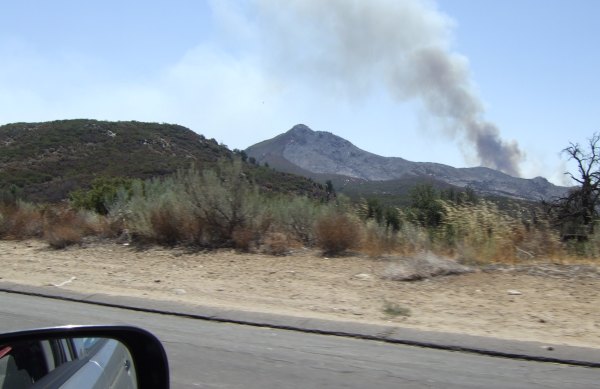
From the freeway, I took a couple of pictures of the peak. The north peak burned, so SlabyFam's cache is gone. However, Chuy!'s caches should be fine.
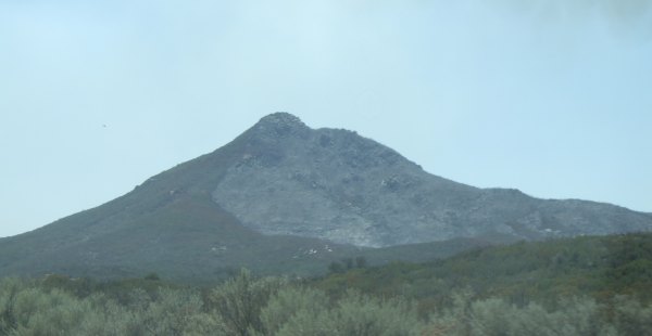
I took this picture from the Pine Valley exit. The west side of Long Valley Peak is completely scorched. There isn't even a stick left where there had been impenetrable chapparal before . . .
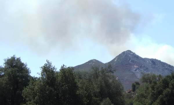
Because many areas are closed now, I thought the Old Burma Road would be closed, but it wasn't. So I drove up there and got another picture of the fire from a distance.

I was undecided about what to do with the rest of the day, but since it was so beautiful, I spontaneously took off for the "Foster Point" cache, one that had been on my "To Do" list for more than two years.
Prior to starting out on my short hike, which turned into quite a long hike, I took this picture at the location of Duncan!'s archived Vallecito Valley View cache.
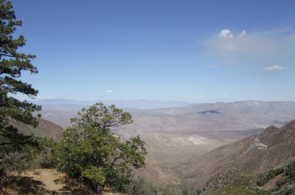
It isn't that often the desert view is as clear and incredible as it was today.

The plaque in the front has all the peaks on it and their distance away, as the crow flies. Interestingly, the "peak" where the Terracache was hidden was not on the marker.
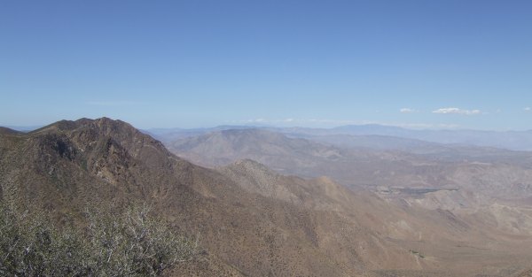
After finding the "Foster Point" cache, I hiked to Gecko Dad's "Hays Peak" Terracache.

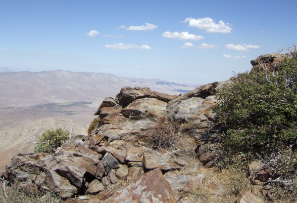
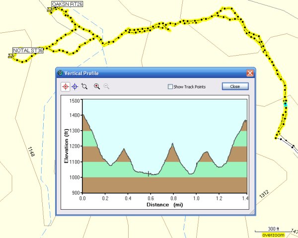
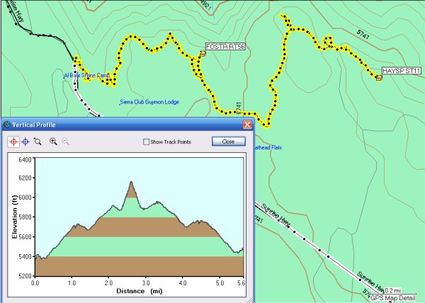
By the time I got back to my car, I had hiked more than five miles and all my meandering on the Pacific Crest Trail created an interesting Profile.
I am sorry about the motivating factor that got me out of the house today -- the devastating fire -- but I am very glad I got out on such a gorgeous, warm, and clear day.
From the freeway, I took a couple of pictures of the peak. The north peak burned, so SlabyFam's cache is gone. However, Chuy!'s caches should be fine.


I took this picture from the Pine Valley exit. The west side of Long Valley Peak is completely scorched. There isn't even a stick left where there had been impenetrable chapparal before . . .

Because many areas are closed now, I thought the Old Burma Road would be closed, but it wasn't. So I drove up there and got another picture of the fire from a distance.

I was undecided about what to do with the rest of the day, but since it was so beautiful, I spontaneously took off for the "Foster Point" cache, one that had been on my "To Do" list for more than two years.
Prior to starting out on my short hike, which turned into quite a long hike, I took this picture at the location of Duncan!'s archived Vallecito Valley View cache.

It isn't that often the desert view is as clear and incredible as it was today.

The plaque in the front has all the peaks on it and their distance away, as the crow flies. Interestingly, the "peak" where the Terracache was hidden was not on the marker.

After finding the "Foster Point" cache, I hiked to Gecko Dad's "Hays Peak" Terracache.


By the time I got back to my car, I had hiked more than five miles and all my meandering on the Pacific Crest Trail created an interesting Profile.

I am sorry about the motivating factor that got me out of the house today -- the devastating fire -- but I am very glad I got out on such a gorgeous, warm, and clear day.
