An amazing, very fun, long day of desert caching
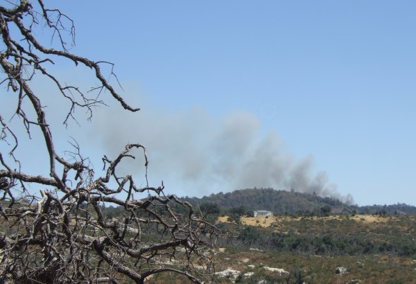
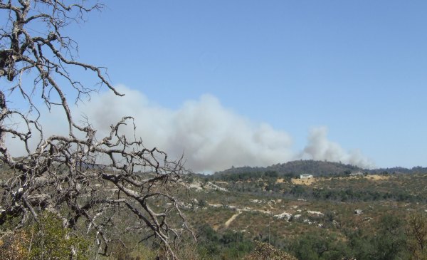
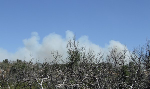
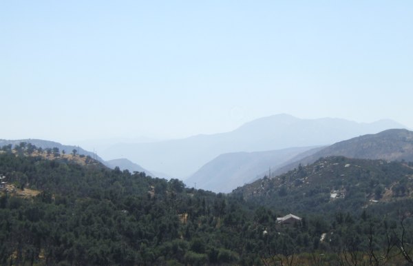
The Pine Fire was still burning near Julian, but I thought the announcer on the news said the 78 was open to the east. When we got to Julian, at about sunrise, we discovered the roadblock . . . There was no visible smoke in the air, but the firefighters probably wanted to have clear access as they continued their mop-up efforts. So, we turned to the west and drove back to Santa Ysabel where we were Saturday. We drove north from there and drove through the Indian Reservation, which is picturesque, but is, unfortunately, cache-less. Finally, we turned towards the desert and started finding caches, starting with "Official Stop #4."
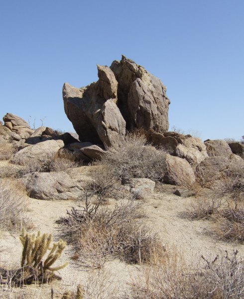
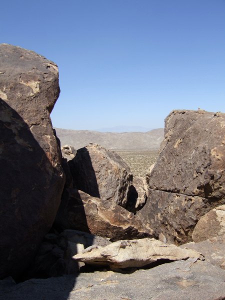
At side roads I would pass by if I were driving my car, we turned up them to get closer to the cache that showed up on our GPSr screen. This rock formation was at a cache placed by the Splashes a few years ago.
Boy, were we wrong . . .
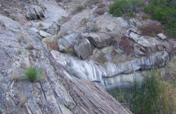
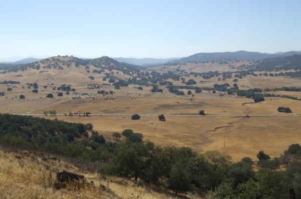
There were some nicely-framed views from amidst the boulder pile.
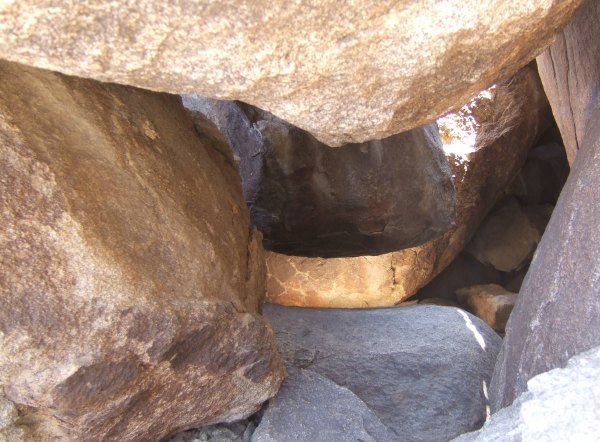
This picture was taken looking down into one of the caverns below us.

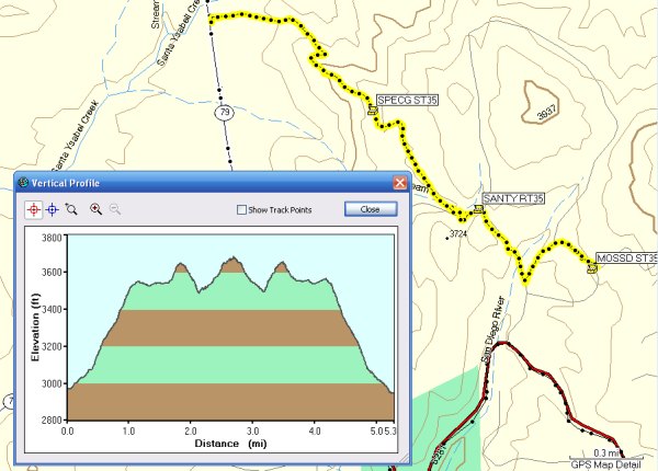
It took us more than an hour and a half to travel just over 500 feet to the cache . . .
After that adventure, we found several more caches, most of which were either right on the highway, or nearby. After about ten hours of caching, we decided to retreat to civilization and get some fuel for ourselves and for the vehicle before heading back to San Diego.
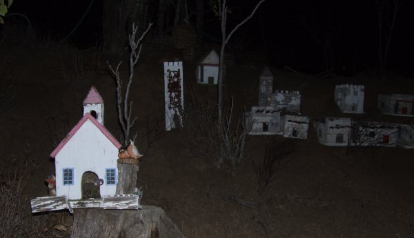
On the way back, after dark, with the temperature dropping quickly, we stopped to look for a cache across the road from this interesting miniature village. We didn't find the cache, so when I return next month for the camping weekend, I can take a closer look at this interesting creation. I wonder how many of the thousands of people who pass by that location have ever noticed it?
I found 21 caches and one benchmark. We also had several DNFs. CTYankee9 has also had several DNFs in the desert recently. It is hard to know if the caches have just disappeared by random muggles, or if someone is deliberately targeting them and removing them . . .
Having the DNFs will alert the cache owners to a possible problem so they can take care of the caches before the big Desert Campout weekend in a few weeks.
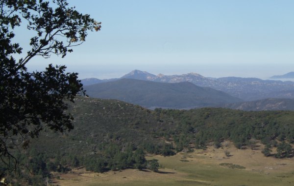
During our day in the desert, the weather was just about perfect with temperatures in the 90s. There was only a slight breeze, something that was appreciated since it cooled us off during our short hikes. There was a storm front approaching, but it was too far off to create the strong winds that blow the dust and sand around and can make being in the desert miserable.
Once again I had a great time and am very indebted to CTYankee9 for doing all the driving.
At side roads I would pass by if I were driving my car, we turned up them to get closer to the cache that showed up on our GPSr screen. This rock formation was at a cache placed by the Splashes a few years ago.
Boy, were we wrong . . .
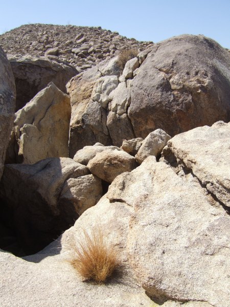
There were some nicely-framed views from amidst the boulder pile.
This picture was taken looking down into one of the caverns below us.
It took us more than an hour and a half to travel just over 500 feet to the cache . . .
After that adventure, we found several more caches, most of which were either right on the highway, or nearby. After about ten hours of caching, we decided to retreat to civilization and get some fuel for ourselves and for the vehicle before heading back to San Diego.
On the way back, after dark, with the temperature dropping quickly, we stopped to look for a cache across the road from this interesting miniature village. We didn't find the cache, so when I return next month for the camping weekend, I can take a closer look at this interesting creation. I wonder how many of the thousands of people who pass by that location have ever noticed it?
I found 21 caches and one benchmark. We also had several DNFs. CTYankee9 has also had several DNFs in the desert recently. It is hard to know if the caches have just disappeared by random muggles, or if someone is deliberately targeting them and removing them . . .
Having the DNFs will alert the cache owners to a possible problem so they can take care of the caches before the big Desert Campout weekend in a few weeks.
During our day in the desert, the weather was just about perfect with temperatures in the 90s. There was only a slight breeze, something that was appreciated since it cooled us off during our short hikes. There was a storm front approaching, but it was too far off to create the strong winds that blow the dust and sand around and can make being in the desert miserable.
Once again I had a great time and am very indebted to CTYankee9 for doing all the driving.
posted by Miragee at
5:38:00 PM
|
0 comments
![]()
![]()


 10-Day Forecast


