Revisiting lots of caches on a fun day
It was raining at my house when I set off down the hill to meet shortwing for what turned out to be a very adventurous day. Our goal was a cave out in the Valley of the Moon area, and it only took us eight and a half hours to get there . . . That's what happens when you stop for so many caches during a circuitous route up Highway 94 past all the fire devastation along the highway and in the towns of Dulzura, Barrett Junction, and Potrero.
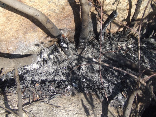
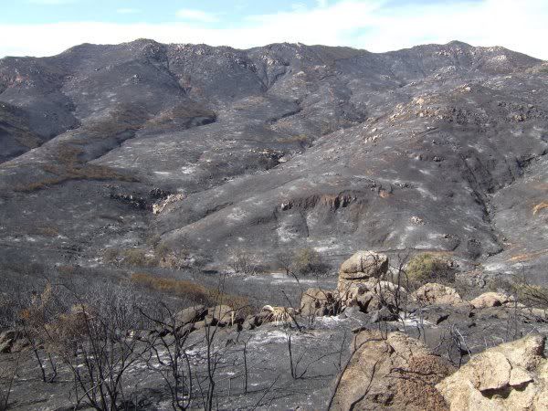
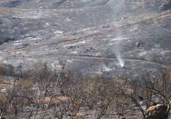
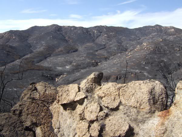
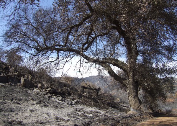
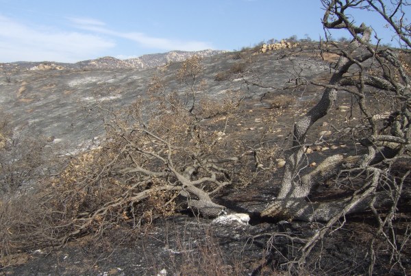
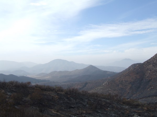
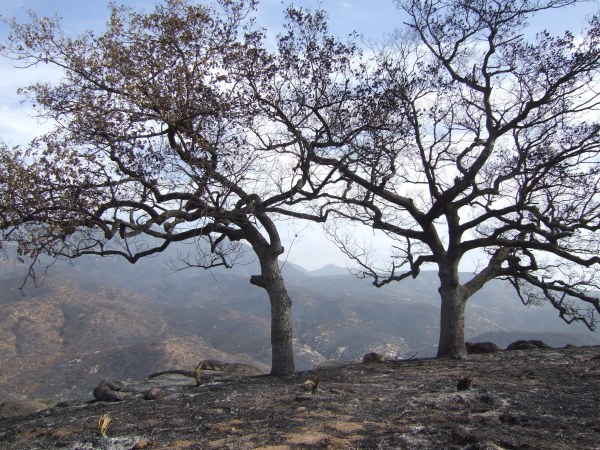
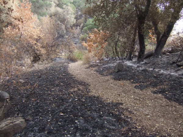
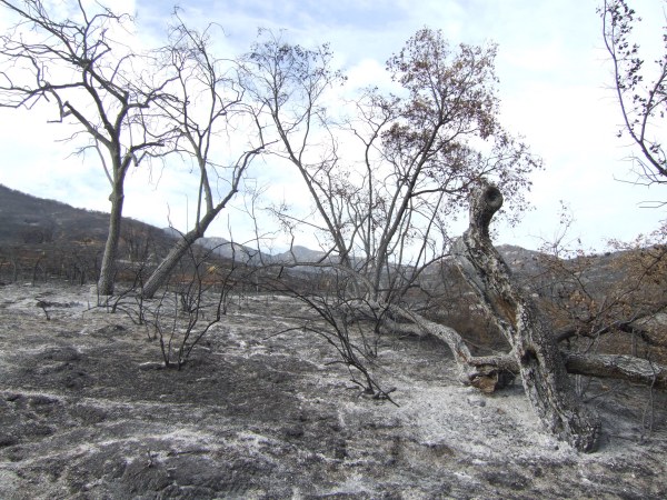
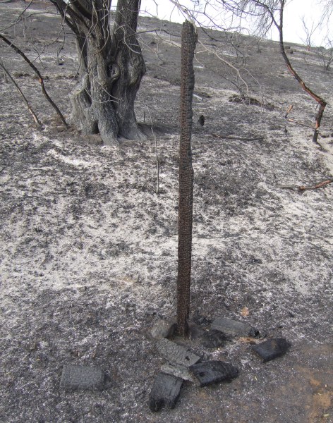
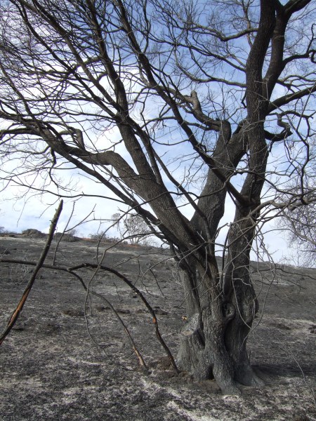
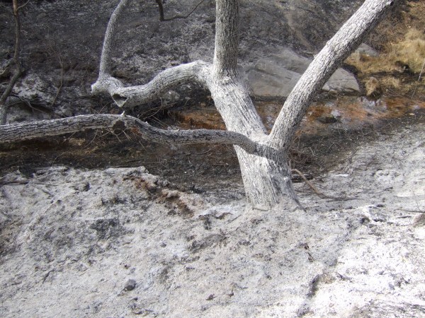
Seeing how thoroughly scorched the area is now, I am amazed there were only six deaths. We saw many burned out houses and even a burned out motorhome along the side of the road . . .
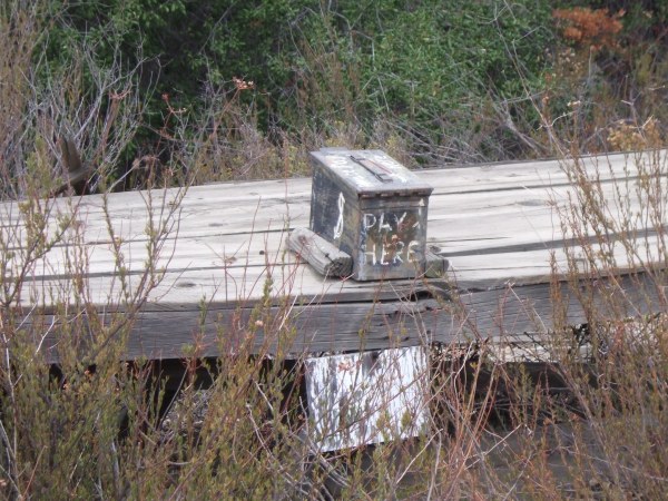
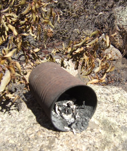
Past the burned area, I remembered a cache I found a few months ago when I was with fisnjack and CTYankee9, "Please Pay Here." We stopped and looked inside the ammo can to find that it was empty . . . While there, we got yelled at by one guy at the house on the hill to the south and by another guy who lived on the north side of the road.
Too bad . . . it was a fun cache, for the short time it lasted.
From there, we headed towards the U.S./Mexico border to find "Border Cache Stash." Before doing that we stopped at the monument at the beginning of the Pacific Crest Trail and looked at the logbook there. The log entries were fascinating. I was amazed at the number of people who signed the book who also hiked the entire length of the PCT. I have no idea how someone completes the logistics necessary for that trek. The trail goes for miles and miles and miles far from any towns where supplies can be replenished. When the original food and water in someone's pack is exhausted, how do they get more food and water?
After we found the border cache, one that is on my "Historic Cache List," we drove north towards Old Highway 80 and the caches along it. Some of the caches we visited, I have been to more than half a dozen times. But, revisiting the caches got me to think back to the history of the cache and my prior experiences, such as remembering T.R. Violin's "Bob's Cache."
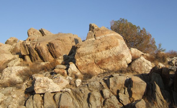
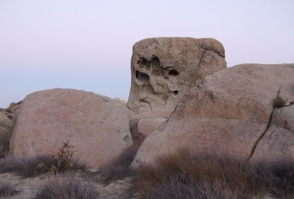
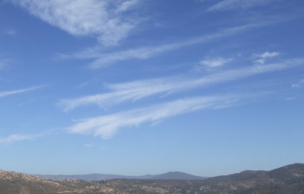
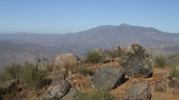
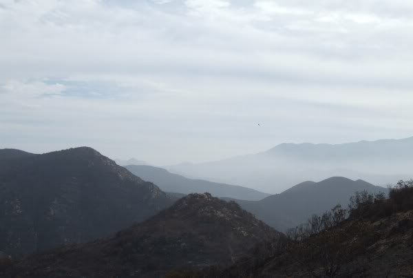
As we drove further east, the sky cleared, but some clouds remained to add interest to the pictures I took. When I was at fisnjack's "Do you see the bear?" cache previously, I didn't get a picture of the "bear."
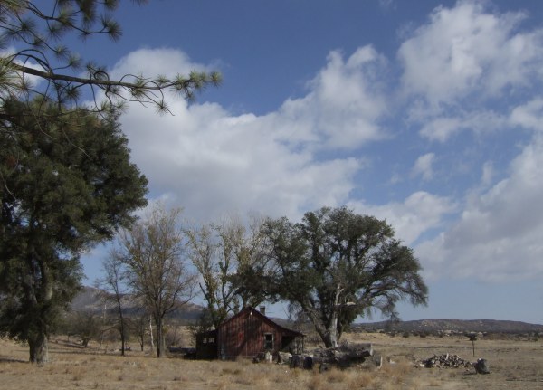
I also got another picture of "Pi's Old House" a bit further up the McCain Valley Road.
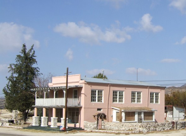
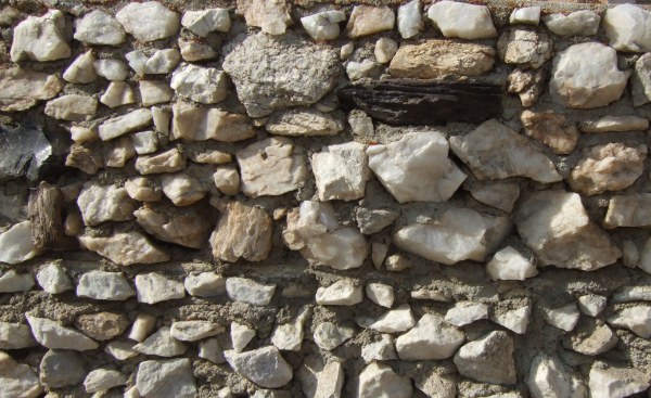
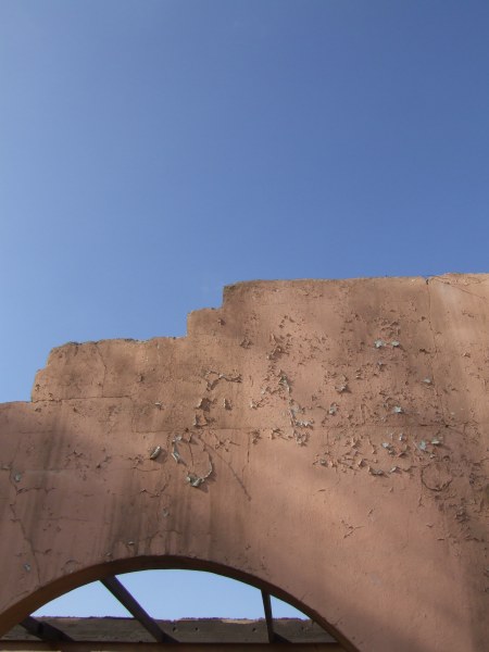
In Bankhead Springs, I got more pictures of the old hotel and the rock wall around the yard. Some of the pictures I took on a previous visit are in this blog entry.
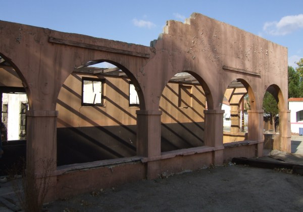
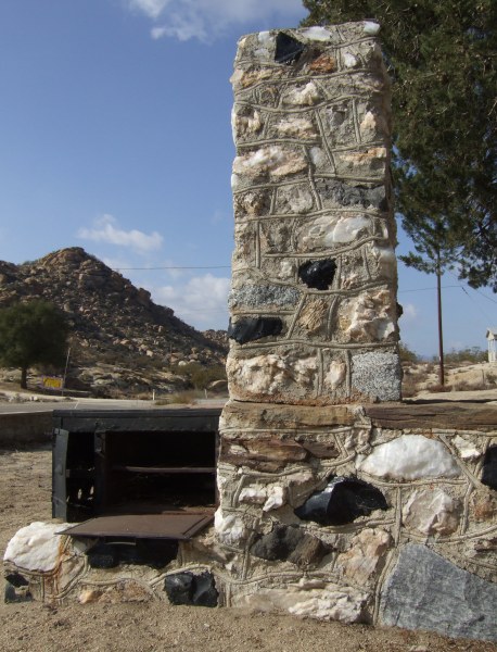
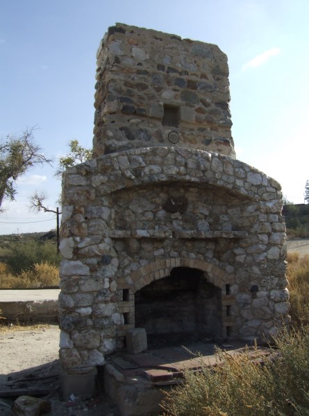
Next door to the hotel is this wonderful "stone ruination" with a built-in stove and oven next to a fireplace and chimney.
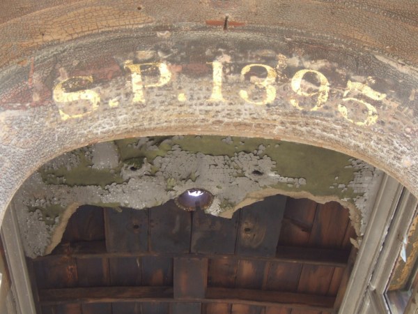
Out at the Old Hot Springs I took a few more pictures of that ruin.
Across the street there is another ruin of which all that remains, except for parts of the foundation and a patio, is this impressive fireplace.
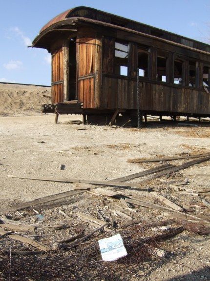
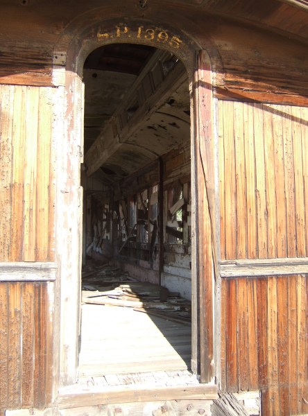
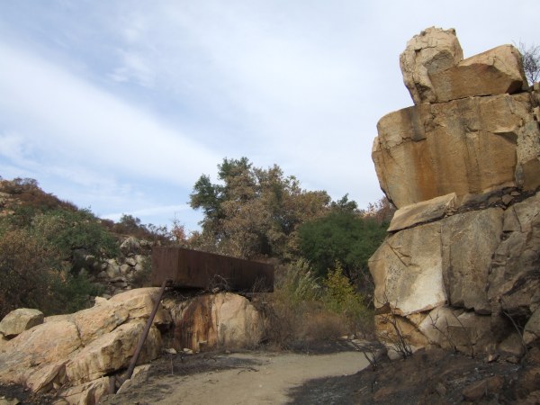
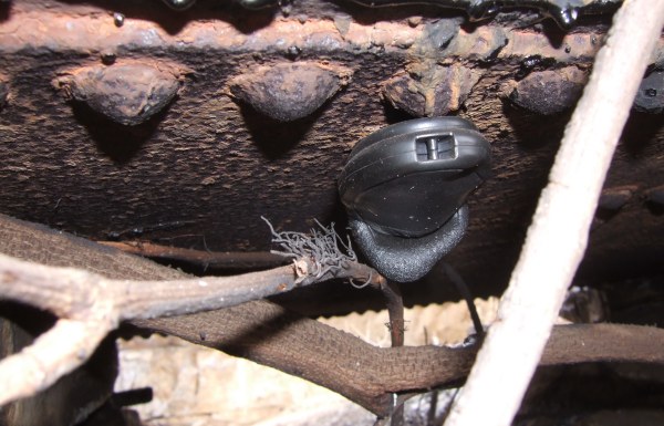
The Jacumba Train Graveyard car offered more opportunities for new pictures. As we started towards the old train cars, something on the ground caught my eye. It was an order form for a train set. On it was a picture of a train car that looked like the car over the hill on the other side of the sand dune . . . I took a picture of the order form, with the car behind it.
This is the picture on the order form.
Can anyone say "Twilight Zone?"
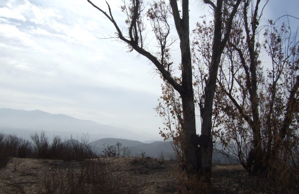
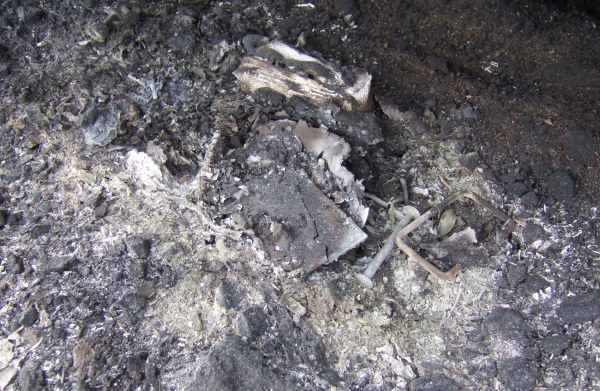
Here are a couple of other new pictures I took.
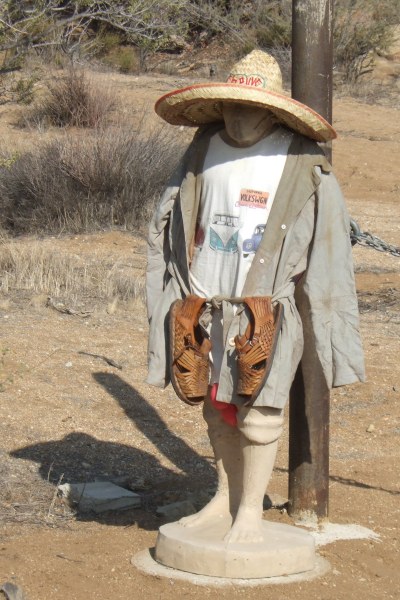
Outside of town is the Jacumba Sculpture Garden where I got new pictures of some of the "characters" there.
Finally, we got to a Blonds Run Amuck cache called "But what do they do for a living?" where I took a few pictures as the sun was getting close to the horizon.
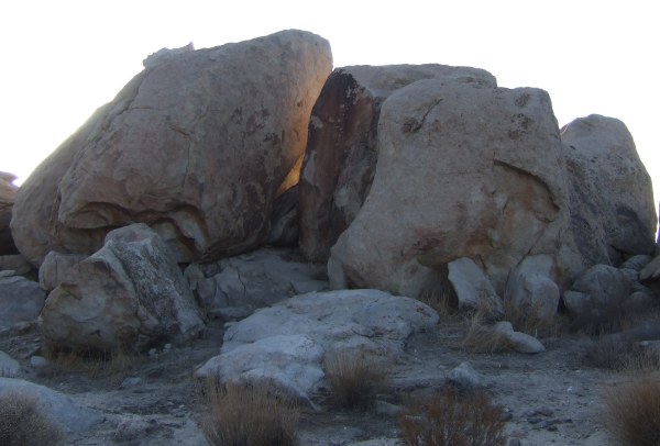
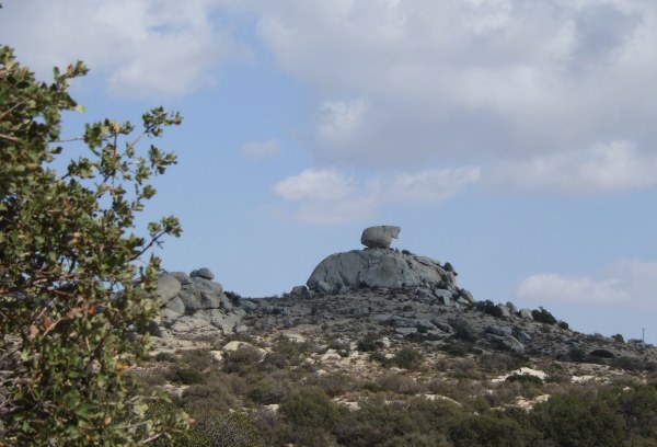
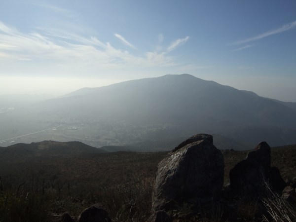
From there we made it out to the Valley of the Moon area where I got a picture after sunset by putting my camera on a rock to steady it for the 20th of a second exposure.
When I finally got back home, I had been gone more than twelve hours. During the long day, we visited more than twenty caches. If only I had not already found all of them, I would have gone over 3000 caches found and would have even gotten a good head start towards the next 100-cache milestone.
Seeing how thoroughly scorched the area is now, I am amazed there were only six deaths. We saw many burned out houses and even a burned out motorhome along the side of the road . . .
Past the burned area, I remembered a cache I found a few months ago when I was with fisnjack and CTYankee9, "Please Pay Here." We stopped and looked inside the ammo can to find that it was empty . . . While there, we got yelled at by one guy at the house on the hill to the south and by another guy who lived on the north side of the road.
Too bad . . . it was a fun cache, for the short time it lasted.
From there, we headed towards the U.S./Mexico border to find "Border Cache Stash." Before doing that we stopped at the monument at the beginning of the Pacific Crest Trail and looked at the logbook there. The log entries were fascinating. I was amazed at the number of people who signed the book who also hiked the entire length of the PCT. I have no idea how someone completes the logistics necessary for that trek. The trail goes for miles and miles and miles far from any towns where supplies can be replenished. When the original food and water in someone's pack is exhausted, how do they get more food and water?
After we found the border cache, one that is on my "Historic Cache List," we drove north towards Old Highway 80 and the caches along it. Some of the caches we visited, I have been to more than half a dozen times. But, revisiting the caches got me to think back to the history of the cache and my prior experiences, such as remembering T.R. Violin's "Bob's Cache."
As we drove further east, the sky cleared, but some clouds remained to add interest to the pictures I took. When I was at fisnjack's "Do you see the bear?" cache previously, I didn't get a picture of the "bear."
I also got another picture of "Pi's Old House" a bit further up the McCain Valley Road.
In Bankhead Springs, I got more pictures of the old hotel and the rock wall around the yard. Some of the pictures I took on a previous visit are in this blog entry.
Next door to the hotel is this wonderful "stone ruination" with a built-in stove and oven next to a fireplace and chimney.
Out at the Old Hot Springs I took a few more pictures of that ruin.
Across the street there is another ruin of which all that remains, except for parts of the foundation and a patio, is this impressive fireplace.
The Jacumba Train Graveyard car offered more opportunities for new pictures. As we started towards the old train cars, something on the ground caught my eye. It was an order form for a train set. On it was a picture of a train car that looked like the car over the hill on the other side of the sand dune . . . I took a picture of the order form, with the car behind it.
This is the picture on the order form.
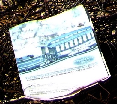
Can anyone say "Twilight Zone?"
Here are a couple of other new pictures I took.
Outside of town is the Jacumba Sculpture Garden where I got new pictures of some of the "characters" there.
Finally, we got to a Blonds Run Amuck cache called "But what do they do for a living?" where I took a few pictures as the sun was getting close to the horizon.
From there we made it out to the Valley of the Moon area where I got a picture after sunset by putting my camera on a rock to steady it for the 20th of a second exposure.
When I finally got back home, I had been gone more than twelve hours. During the long day, we visited more than twenty caches. If only I had not already found all of them, I would have gone over 3000 caches found and would have even gotten a good head start towards the next 100-cache milestone.
posted by Miragee at
9:48:00 PM
|
1 comments
![]()
![]()


 10-Day Forecast


