It was a gorgeous day today for a long hike up Cowles and Pyles Peak in Mission Trails Regional Park. I met dillweed near the "Golden Joe" cache and from there we went to the Barker Way trailhead. I had most of that side of the mountain cleared off except for one bradybunchboys cache near the intersection with the busy Cowles Mountain trail.
That trail is used by hundreds of people every day and some individuals have climbed the mountain on that trail more than 1000 times . . .
At the top there was a Terracache we had a bit of trouble finding until we read the hint and looked around for the particulars. Since the area is so well-used, there were muggles nearby, but I retrieved the container and moved away several feet to examine the contents and sign the logbook. I totally forgot to notice a "Confirmation Code" while looking through the other finder's logs which included 3cds, GeckoDad, and T.R. Violin, who drank the fermented juice of the Agave . . .
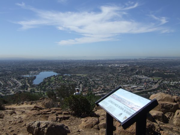
I took several pictures from the peak before we started down the trail that would eventually take us over to Pyles Peak.
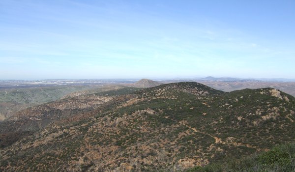
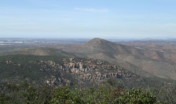
In the next picture, if you look closely, you can see the trail that cuts across the peak, and way in the background, you can see the trail that goes up to the top of North Fortuna.
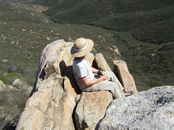
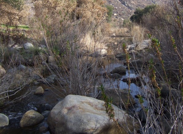
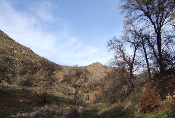
The trail from Cowles goes down and then levels off for a while before going back up where we scrambled onto a wonderful rockpile in search of "Santee Overlook."
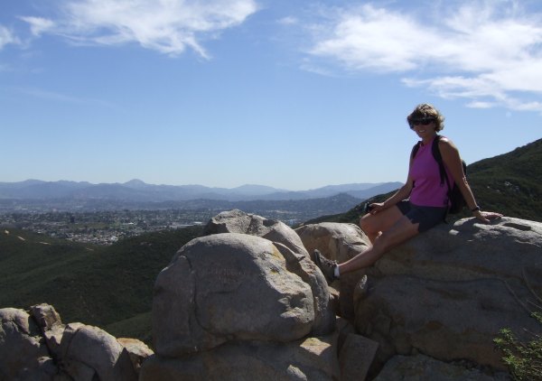
I climbed out onto the "throne" where I managed to drop my sunglasses . . . Fortunately, I could climb down from that rocky perch and retrieve them from the dark crevice they fell into, but I don't recommend dropping anything from that precipitous outcrop.
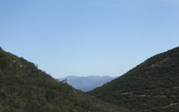
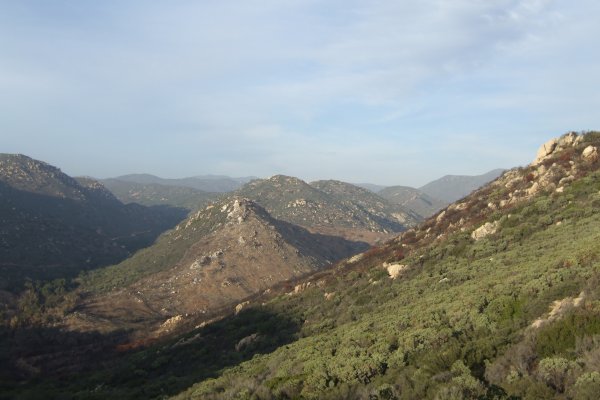
As we continued along the trail, my "neighborhood," including Sycuan, Gaskill, and Lawson Peaks were framed by the slopes of Cowles Mountain and Pyles Peak.
As we ascended the trail to the Peak, we heard an explosion. We turned around and saw an enormous cloud of dust lifting from the gravel pit far to the west along Mission Gorge Road. My first thought was for the homes not too far away up the hill in Tierra Santa. I never would have known what a hazard they have to endure if we hadn't seen it. I wonder how frequently that operation puts that amount of dust in the air . . . ?
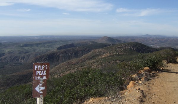
On the top of Pyles Peak, we looked for the Terracache for quite a while. We read the hint and then looked under the nearby Laurel bushes. We finally found the container under a Mountain Mahogany bush . . .
From the peak, we walked down the backside for a little way to find the "Pyle Driver" cache which was placed on September 11, 2001. Tears welled up in my eyes as I read the initial log by the cache owners where they described the world-changing events of that day.
From that location, El Cajon Mountain looked like the formidible, granite peak it is.
North Fortuna Mountain dominated the foreground of the view to the north.
As we descended the peak, I told dillweed I didn't remember the trail to be so steep and treacherous when I made the climb up . . . My walking stick sured helped me negotiate the areas that were slippery with little "ball bearing"-like gravel.
From the main trail, we took another less "offical" trail to find "A Penguin Adventure." We definitely turned it into an adventure since we took the wrong trail option at the top. It reminded me of duganrm's and my adventure finding "Look in the Crannies" which we also approched from above.
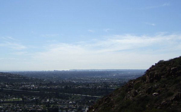
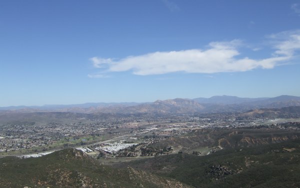
From near the cache, a vista of Point Loma, downtown, and the Coronado Islands opened up. The air had cleared quite a bit compared to the layer of brown smog we saw earlier in the day.
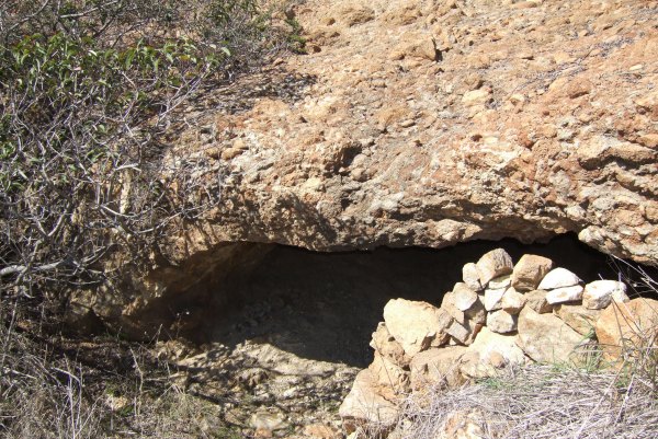
After signing the log, we started back up a "trail" which soon deteriorated. We made the decision to go back downhill and head up a faint trail that went up towards the saddle. By going that way, we saw a "cave" that was very close to kwver's "Out With Chuck B" cache.
I couldn't tell if it was a natural formation or not, but it was large and would provide shelter if a hiker ever got caught on the mountain in a rainstorm. That would be an interesting experience, because in a sudden thunderstorm, the water would create a water veil over the cave entrance.
It was a beautiful day, I had wonderful company on the hike, and the distance we covered was just about right. Long enough to get good exercise, but not so long that either of my knees started to hurt.
I look forward to my next adventure.


 10-Day Forecast


