Blog Template Musings about Geocaching: 2006-08-06

Musings about Geocaching

Friday, August 11, 2006

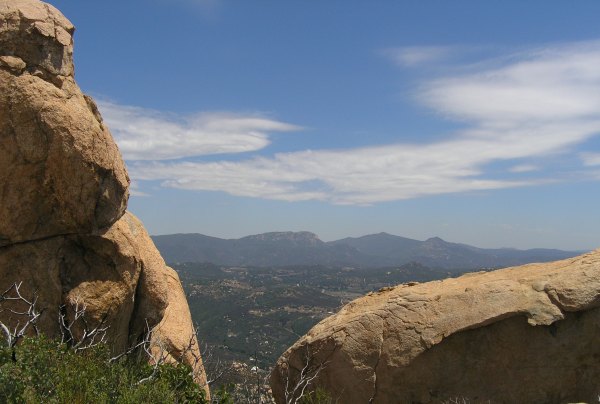
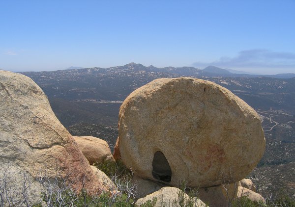
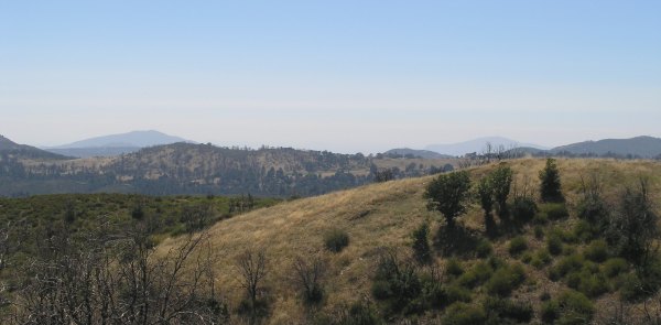
A long, fun "hike" around downtown San Diego

Because of some "developments," I have decided to be a "lurker" of the Forums instead of a participant . . . after recently reaching the 5000-post mark . . . a number I would erase, or reduce, if I could. So, peeking at the San Diego Event Thread, I saw that redstar was going to do some caching downtown.

GoBolts! said he was in, so I called him and met him at his house. I needed to go into town to do some grocery shopping anyway, so what's another ten miles added to the 20 I already have to drive?

From GoBolt!'s house, we continued downtown. I found a free parking place with no 2-hour-time limit, and after two attempts, managed to parallel park in the spot. From there, we only had to walk a few blocks to met up with redstar in Seaport Village.

Recently, I was downtown with Team Adelos and duganrm. I found several caches with them that redstar and GoBolts! needed to find, but I didn't mind revisiting them and was happy for the companionship.

In our several-hour walk around downtown, I only logged six finds, but they were caches I wouldn't have even looked for on my own. And, since I don't have a cell phone, one of them was one I could not have done on my own. It was an elusive WebCam cache P.T. and I tried to get last year when the camera wasn't working.

During our afternoon and evening, we walked more than seven miles . . . hence my reference to a "hike."


I was sure glad I wore my Chaco sandals because my feet didn't hurt like they would have in my shoes or boots . . . something that just happens after four hours of walking because of my peripheral neuropathy.

As we walked around, I got some pictures for Waymarks. I also got another, much better picture of the hotel painted like a castle on one side. Last year I took a picture of that building when P.T. and I visited "Can I hear the Trolley a Comin'?."


Look how much construction has gone on since last October . . .


We walked over to the Churchill Hotel because I think GoBolts! is hatching an idea for a Puzzle Cache.

When we saw this building, the wheels started turning in his head again.


So, all you Puzzle People who are smart enough to figure out the puzzles, get prepared . . . I think there might be two new ones coming your way.

At the end of the day we walked along a sidewalk dedicated to Martin Luther King Jr. As I read the eloquent quotes on the plaques, I asked GoBolts! "Why don't we have any leaders like him today?"

The last cache we looked for, we DNF'd. I'm not sure we interpreted the hint correctly -- it was late -- but where we thought it should have been, we didn't find it.

It was almost 11:00 p.m. when I got home. I was tired, but happy. It was a great, fun day, and I genuinely enjoyed the company.


Wednesday, August 09, 2006

I got my first Terracache FTF!

Across the valley from Gaskill Peak, there is an amazing rocky peak. From the trail up to Gaskill Peak, and from the Carveacre Wind Cave location, I have viewed that peak and wondered how to get to it. Of course I wondered why there weren't any caches on it.


Well, finally, after a lot of research, Gecko Dad figured out how to access the peak legally through public access trails. He placed two caches on the peak and one on the trail below it near where a "trail" is marked by green ribbons.

Yesterday, the weather was cooler than it has been, so I drove the back road from my house to Alpine to find the trailhead.

I asked my GPSr to route me to the trailhead, but it got confused because it thought Spanish Bit Rd. was something I could turn onto . . . and I couldn't. So, I reached a dead end, but the California Riding and Hiking trail started there, and I could see the peak, so I took off. The trail went down into a gully and then up a steep hill. I took a picture of Viejas Mountain from a vantage point along the trail.


Soon after that, I got to a high point on the trail where I could see Bell Bluff . . . and I could also see the huge canyon between me and the trail on the other side.

Whoops . . . I was on the wrong section of the California Riding and Hiking trail.

So, I walked back to my car and drove to the intersection named in the cache description. I also entered the coordinates for the trailhead. Finding it was almost like finding a cache. It was well hidden next to a large gate that makes that open area look closed.

The beginning of the trail heads south down into a wetlands that is green and cool. Then the trail goes up into the chaparral area that is recovering from the October 2003 fires. For more than two miles along the trail, there is no shade, so I don't know how Gecko Dad did this hike and placed the caches when it was over 110°.

Before the trail splits off, with one section heading towards Loveland Reservoir, and the other section heading towards Bell Bluff, there is a great view of the peak.


I thought I missed the fork, so I backtracked to investigate an eroded trail that went to the north. Once again, I had made a wrong turn, so I backtracked and continued on to the fork. I took the coordinates there in case Gecko Dad wants them for his cache description.

As I walked, I watched the distance to the cache diminish slowly. I seriously thought I would just get to the cache at the bottom and turn around. The mountain looked so daunting, and the day was getting much warmer than it had been two hours earlier.

Finally, I made it to the "Green Ribbons to Bell Bluff" cache.

Gecko Dad's coordinates turned out to be perfect, but until I used the detailed hint to find the well-hidden green waterproof match container, I didn't know that. After such a long walk, it would not have been very fun to spend a lot of time trying to find the container.

From that cache, the distance to the top, as the crow flies, wasn't very far, and the faint trail looked doable.


I followed the green ribbons, and the older orange and pink ribbons, up, up, and up. The vistas revealed as I got higher, like this one of Viejas Mountain, were fantastic.


After an hour of climbing, I was finally at the top. The closest cache was the Terracache, "Ringing the Bell." I wandered up and around the boulders near GZ, but the batteries in my GPSr were low and the signal was erratic. After I changed the batteries, I found GZ, but still couldn't see the cache. Using my walking stick, I poked some hidey holes and finally heard that wonderful sound of stick on cache.

The logbook was blank. There was a paper for the FTF code, and another confirmation code in the logbook. I signed the log and traded for the beautiful silver gecko charm.

The Geocache, "Bell Bluff - Alpine's Mini-El Capitan" was less than 200 feet away, so I made my way over the rocks and boulders to it. Once again, Gecko Dad's coordinates were perfect. I wonder if he also has a Vista C? Although the hiding spot is not obvious, I saw it right away. Even so, he included a detailed hint in his cache description. I sure appreciated that. No one wants to make a hike that long and hard and then have trouble finding the cache.

I signed the logbook and retrieved Bad Andy's coin out of the cache. BadAndy's coin has an interesting Latin inscription.
mutuus sursum vel mutuus parkilis

As near as I can tell, from an online Latin dictionary, that means: Trade up or Trade Even.

Now that I had found both caches, I had time to play. I took some more pictures. This one is toward Hauser Canyon and the Hauser Wilderness area that burned in the recent fire.


I found this rock with a hole in it that offered an interesting foreground to the view of Gaskill Peak, Lawson Peak, and smoke from a fire off behind Lyons Peak.


Then, I found the benchmarks on the peak, and signed the peak register.


Later, when I logged that benchmark, it turned out I was the first Geocacher to log that one. Whoooo Hoo . . . another first for this adventure.

I really wanted to stay on the peak and play some more. I love huge boulders like those, and the ones on the north end of Iron Mountain where my "Boulders with a View," resides, and the enormous ones on Gower Mountain, where "Mega Boulders -- Micro Cache" is hidden. Another fun mountain with lots of huge boulders is Indian Head Peak.

Even though I wanted to wander around, explore, and take more pictures, the day was getting warmer, and I only had 24 ounces of water left for the return hike. To find the elusive Green Ribbon trail, I referred to the tracks on my GPSr and reluctantly started down from the peak.

On the way back, I took more pictures of the amazing scenery along the way.


On the return hike, I rationed the water and only finished off the last of it when I had my car in sight. At the car, I got the quart bottle of water out of my cooler and drank all of it.

It was a wonderful adventure. Coupled with the hike Sunday when I placed three caches, my love of Geocaching has returned. This is what the sport/game/activity/addiction is all about for me.


Monday, August 07, 2006

During a long hike, three new caches were placed

Things haven't been going very well lately, so I decided to get out and take a long hike by myself. I took a large ammo can, a lock-n-lock, and a pill bottle with me, each with cache contents.

As I drove out, I stopped at my mailbox, and my green jeep had arrived. Whooo Hoo! I could put it in one of the new caches.


At the top of Champagne Summit, there was a cache that unfortunately succumbed to the fires of 2003. It was archived a few weeks ago, and ever since then, even though I had never been there and didn't even know the trails in the area, I wanted to put a replacement cache at the peak.

I parked my car at the Pioneer Mail area and headed off down the old jeep trail in the valley. The grasshoppers were out in profusion and they jumped out of my way as I walked along the somewhat overgrown trail. The pack was heavy, as was my fanny pack. I had two bottles of water with me, some snacks, and my headlamp, just in case . . .

I watched the arrow on my GPSr as I walked the trail and at one point, I was about .6 away, but there was no trail . . . and the trail I was on was going down. I hated to lose the altitude I had gained, but I continued on while watching the arrow on my GPSr turn behind me. Finally, I found a trail that turned abruptly and headed in the right direction.

As I walked along, I got to within .3 of the cache . . . and then I was .6 away again. Finally, I got back to within .3 of the cache as I walked up the steep, switch-backing trail. At last, I arrived at some signs that mark the intersection of two trails.


I continued to the south and walked past the previous cache location. After taking many pictures, I hid the container behind a rock the finder can sit on while signing the logbook. The cache has this view of Cuyamaca Peak.


Looking the other direction, you can see Mt. Laguna and the Observatory.


And looking towards the south you can see mountains that are in Mexico.


After I hid the Lock-n-lock container, which had been my "Evidence of a Bygone Era" cache, I hefted the still-heavy pack to my back and took off down the trail. At the signs, I thought that would be a good place to put the pill container. I hope with a rock on top of the lid, it will stay waterproof.

As I continued down the trail, I saw a way to scramble up some loose rocks through an area that showed evidence of the 2003 fire. I wanted to get to the ridge line where there would be a view. When I got to the top, I was not disappointed and that is where I finally placed the ammo can.


My route to that location was the long way around. If I had come in the way I walked out, I would have dropped that heavy ammo can first, instead of last.


It was great to get out and place a few more caches. I think I have way more fun doing that than I do finding caches. It is definitely more fun taking a hike like that, and placing caches like those, than looking for a film canister behind a shopping center in town.

I hope the finders of my new caches enjoy them and the places they are hidden.


Sunday, August 06, 2006

Now there are closed signs at Horsethief Canyon

On my way up to Mt. Laguna, I stopped at Horsethief Canyon. If the area had been open, I would have hiked into the canyon again. Today I had the coordinates for "Hopalong Rides Again," so I was prepared to search the exact location to confirm what we surmised from last Tuesday's foray, that it had been exposed when the bush it was hidden under burned, and a fire fighter, or someone else, saw it and picked it up.


On my way back from placing the three caches in the Cleveland National Forest, I stopped to take pictures of the devastation. This is a view of Horsethief Canyon.


The hills are burned and there is very little left except the blackened stems of Manzanita bushes and other chapparal plants, however in the canyon, the oak trees still stand, although the leaves have been scorched. A year from now, most of those trees will be green again.


Above the road we walked last Tuesday, the hill is completlely scorched, but further down, Secret Canyon remains untouched by the flames. Had the fire raged through that canyon, it could have made it all the way to the "Secret Canyon" cache, one of the oldest caches I've found, and one whose logbook is captivating to read.

After the fire, I did not see any comments in the San Diego Thread of the Forums about the loss of the caches in the canyon, and that surprised me. "Latitude 32's Treasure Trove" was such an amazing cache container, full of coins and jewelry . . . and I did not see any expressions of sorrow over its loss, nor sympathy to the cache owners.

We need a moment of silence to remember Latitude 32's cache as it looked before the fire.


Web Counters
Office Max Coupon