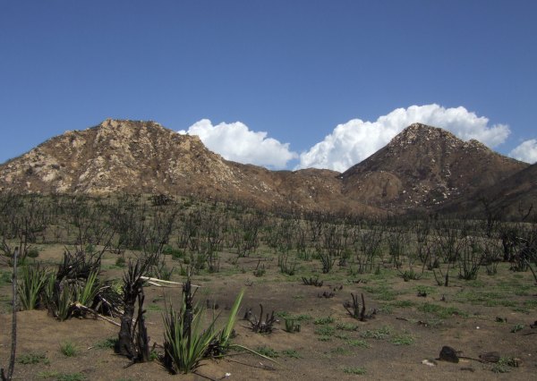
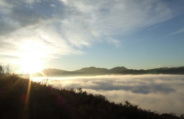
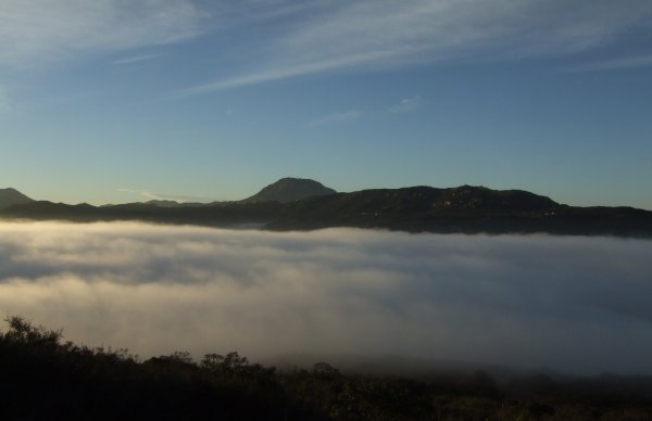
A FTF in Horsethief Canyon on a beautiful day
The bradybunchboys placed a cache the other day in Horsethief Canyon. No sooner had it gone "live" than they Disabled it because, according to Google Earth, the coordinates looked like they were off.
I had put it on my watchlist that day, so today, when it went "live" again, I put some snacks in my pack and headed out the door, making sure the coordinates were in the GPSr.
It was a beautiful day, with perfect hiking weather.
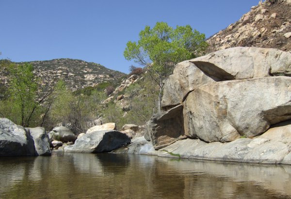
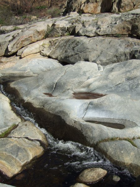
The trail turned to the north, and finally I was at the pool I remembered from a horseback ride I took in the area about six or seven years ago.
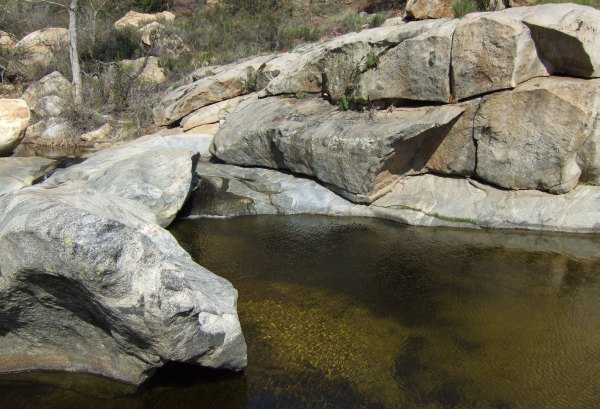
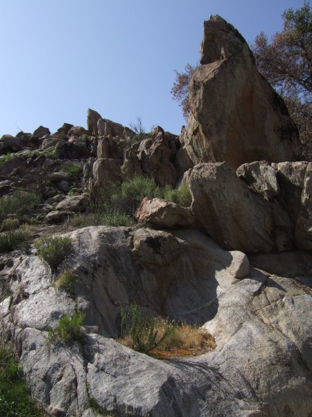
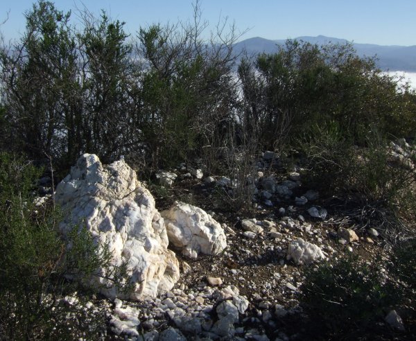
The cache was just off the trail, up in the rocks above the pool. The arrow on my GPSr was erratic and was sending me one way, then another. Finally, I changed to the satellite page and started trying to get to the numbers, a technique I read about in the Forums this past week.
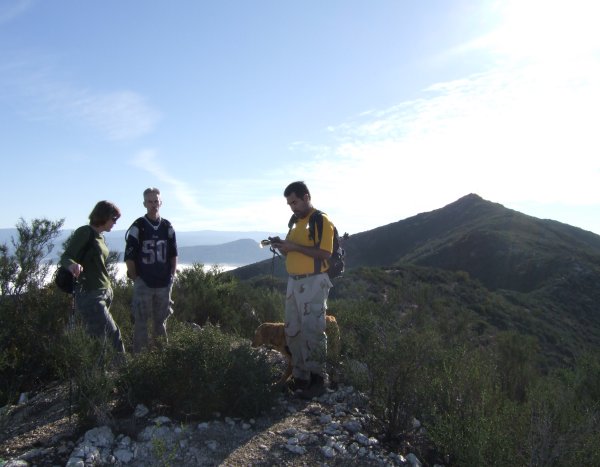
Soon the couple that had been hanging out near the pool left and shortly after that I zeroed in on the numbers and found the container, well-hidden in a nook between two large boulders, and covered by a good sized, lichen-covered rock.
Inside the little lock-'n-lock container, there was a Yellow Jeep TB, a FTF token, a FTF Prize, and another Geocoin, plus a little plush animal, and an empty logbook . . . Cool! I signed the logbook, retrieved the Yellow Jeep, the first one I have ever retrieved from the "Wild," and pocketed the FTF token and FTF Prize.
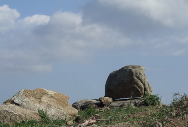
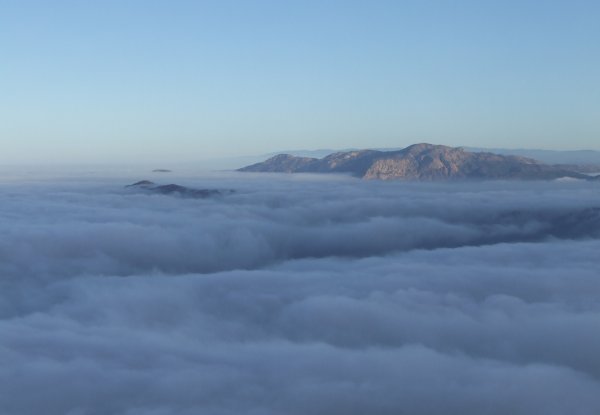
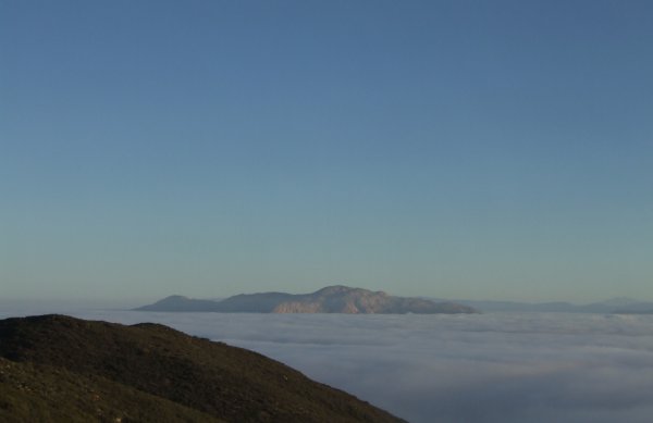
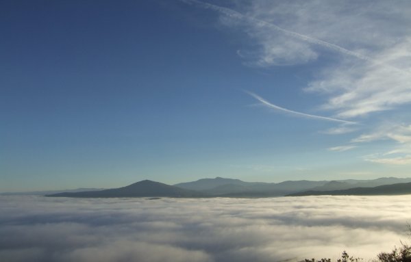
After that, I stayed in the area taking a number of pictures.
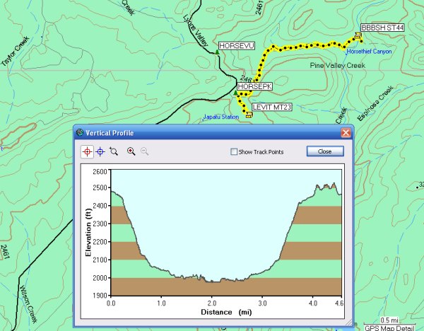
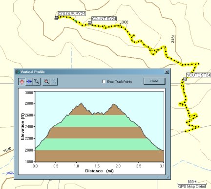
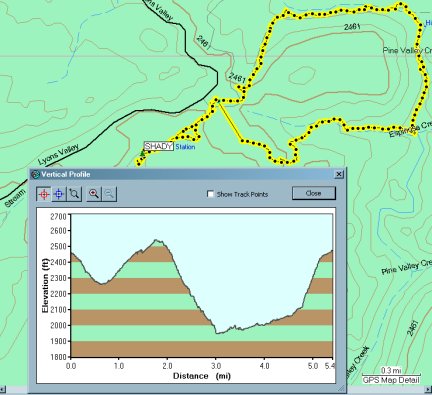
That added another little "bump" to the Profile of my more-than-four-mile hike.
It was a really beautiful day and I was glad to finally get out, since bad weather had kept me in the house several days this week.
My thanks to the bradybunchboys for finding such a great location for their 100th cache.
I had put it on my watchlist that day, so today, when it went "live" again, I put some snacks in my pack and headed out the door, making sure the coordinates were in the GPSr.
It was a beautiful day, with perfect hiking weather.
The trail turned to the north, and finally I was at the pool I remembered from a horseback ride I took in the area about six or seven years ago.
The cache was just off the trail, up in the rocks above the pool. The arrow on my GPSr was erratic and was sending me one way, then another. Finally, I changed to the satellite page and started trying to get to the numbers, a technique I read about in the Forums this past week.
Soon the couple that had been hanging out near the pool left and shortly after that I zeroed in on the numbers and found the container, well-hidden in a nook between two large boulders, and covered by a good sized, lichen-covered rock.
Inside the little lock-'n-lock container, there was a Yellow Jeep TB, a FTF token, a FTF Prize, and another Geocoin, plus a little plush animal, and an empty logbook . . . Cool! I signed the logbook, retrieved the Yellow Jeep, the first one I have ever retrieved from the "Wild," and pocketed the FTF token and FTF Prize.
After that, I stayed in the area taking a number of pictures.
That added another little "bump" to the Profile of my more-than-four-mile hike.
It was a really beautiful day and I was glad to finally get out, since bad weather had kept me in the house several days this week.
My thanks to the bradybunchboys for finding such a great location for their 100th cache.
posted by Miragee at
7:24:00 PM
|
0 comments
![]()
![]()

 10-Day Forecast


