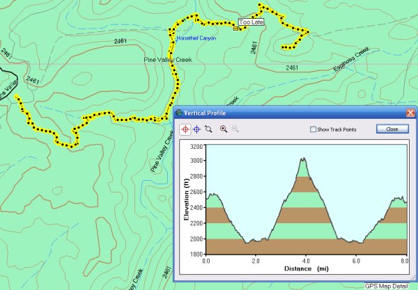
Well, I did it. I placed four more caches today
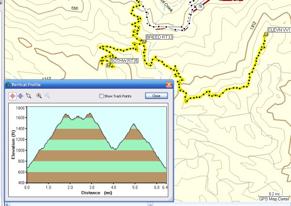
I hiked back up to the peak I hiked yesterday and dropped two ammo cans, two Altoids tins, and one bison tube.
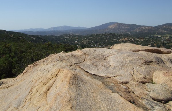
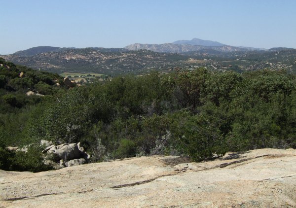
I had a really fun time and the day was beautiful.
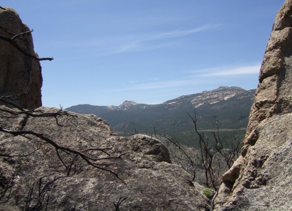
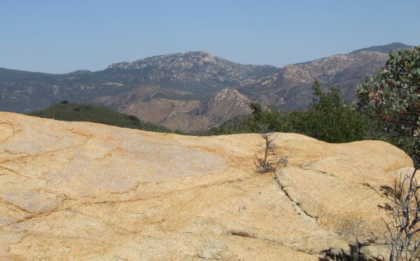
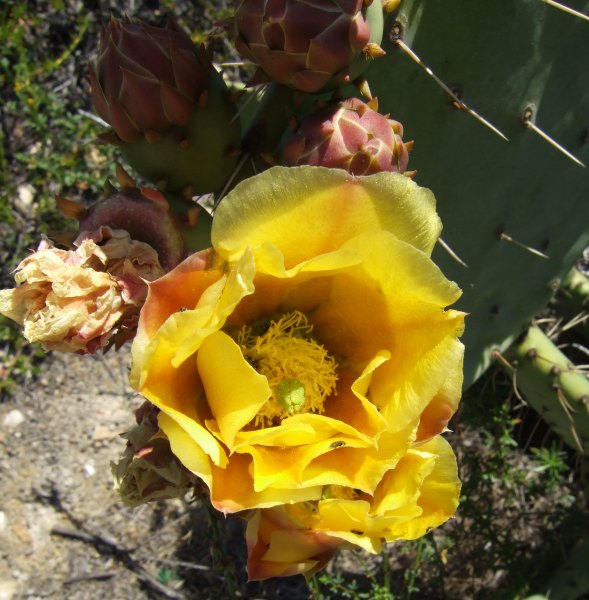
This is the view from the first cache along the trail, "Slow and Steady."
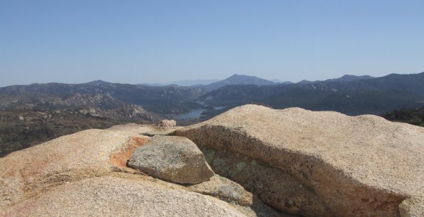
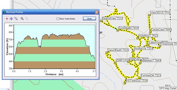
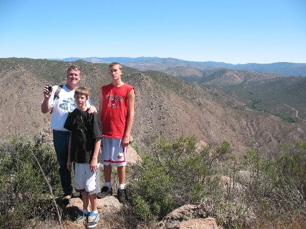
And, this is the view from near where I placed the ammo can on the top.
Originally I placed the ammo can somewhere else, but then I got to walking around and exploring and I found this really cool double-bed-sized-flat-rock and decided that was a cooler location. So, I retrieved the ammo can from the other spot, put the Terracache there, and then spent a long time rearranging rocks to hide the ammo can so it was still an "Easy Find." I sure hope my coordinates lead people over the ridge of rocks to the right place so they aren't hunting 20' away. My hint is explicit, so the cache should live up to its name, "Hard Hike, Easy Find."
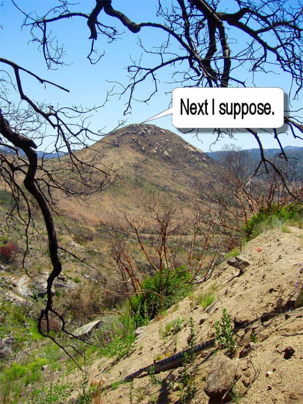
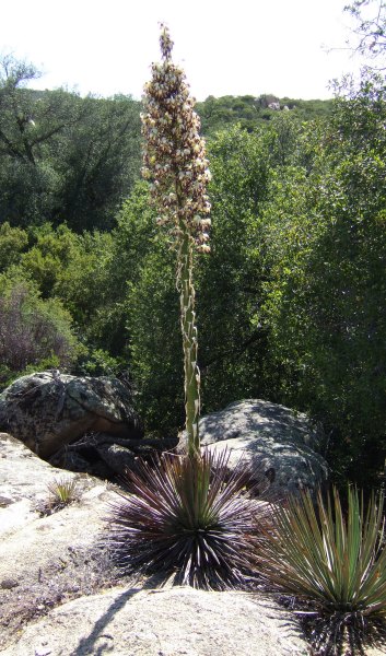
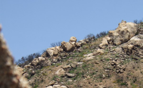
When I started down the hill, I took a different line and ended up in a forest of dead, blackened branches from the previous 8-10' high chapparal that covered the peak prior to the fire. I took a couple of pictures and if they came out, I'll post them to show what it was like.
I had created the cache pages yesterday, so I only had to edit and add some pictures and then state that the caches were active. Marko Ramius published them within 15 minutes. Now, that's good service.
I had a really fun time and the day was beautiful.
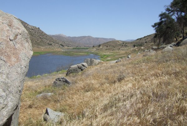
This is the view from the first cache along the trail, "Slow and Steady."
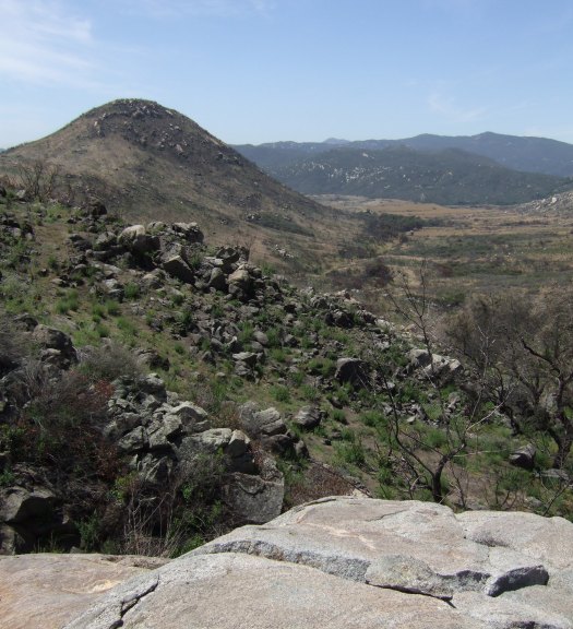
And, this is the view from near where I placed the ammo can on the top.
Originally I placed the ammo can somewhere else, but then I got to walking around and exploring and I found this really cool double-bed-sized-flat-rock and decided that was a cooler location. So, I retrieved the ammo can from the other spot, put the Terracache there, and then spent a long time rearranging rocks to hide the ammo can so it was still an "Easy Find." I sure hope my coordinates lead people over the ridge of rocks to the right place so they aren't hunting 20' away. My hint is explicit, so the cache should live up to its name, "Hard Hike, Easy Find."
When I started down the hill, I took a different line and ended up in a forest of dead, blackened branches from the previous 8-10' high chapparal that covered the peak prior to the fire. I took a couple of pictures and if they came out, I'll post them to show what it was like.
I had created the cache pages yesterday, so I only had to edit and add some pictures and then state that the caches were active. Marko Ramius published them within 15 minutes. Now, that's good service.
posted by Miragee at
5:58:00 PM
|
1 comments
![]()
![]()


 10-Day Forecast


