A nice "menu" of caches and benchmarks found today
Although gas prices have skyrocketed here, increasing every week for 12 straight weeks, fisnjack didn't care because there were caches to find out in the desert, and the weather was perfect. The caches we were interested in were a couple more "Historic" caches and a Terracache called "LOST." We also were determined to get to the final for "Tomb Raider," the cache we couldn't find on a recent trip, because I'm an idiot and cannot figure out the puzzle caches.
The hike to "LOST" was just over a mile over the open desert. We went cross-country for a while, then walked up a wash for a ways until we had to make a little climb up to the top where there was a benchmark inscribed with "LOST," and where there was a peak log to sign. The view of the badlands from that vantage point was fantastic and the early-morning light made the features stand out.
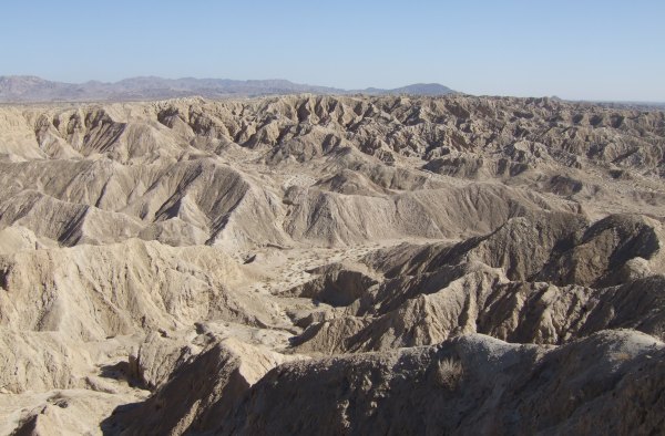
After returning to the truck, we drove up the wash a little more than a mile and parked only 500' away from "top dog," a newer cache placed near one of the older caches in the County. It was placed near a knife-edged ridge that dropped almost straight down into the wide wash below.
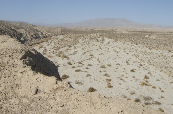
The older cache, called "Overland," was placed by Florian. We didn't go overland to get to it as he did when he placed it. We walked from "top dog," climbing up a treacherous hill covered with loose rocks that made the going not so fun . . . but we made it, eventually.
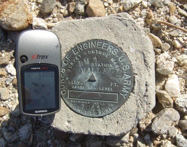
We walked to two neaby benchmarks which we photographed with our GPSrs so we could log them either on Geocaching.com or Waymarking.com. One was marked VALLE, the other was a reference mark for GUAD . . . confusing, yup! I wonder where GUAD is?
From there, we took a different route down from the ridge because I really didn't want to go down the way we came up . . . that climb was treacherous. After returning to the truck, we had only a short distance to drive up this wash to get to a brand new cache at "Hollywood and Vine."
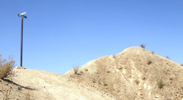
We were surprised no one had signed the log before us, so we got an unexpected FTF.
After re-hiding the cache and walking back to the vehicle, we turned around and headed back to the other wash in order to get to the parking for "Tomb Raider." This time, since we did a thorough search of the "tomb" the last time, we took the trail that goes up, up, up the mudhills. There were holes in places, so we stayed on the "tested" trail, not wanting to risk falling through the ceiling of the mudcaves and caverns beneath us.
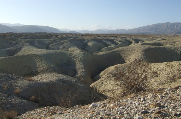
I took the hard way to the cache, following the arrow on my GPSr, while fisnjack followed the trail -- a role reversal. He is usually the "follow-the-arrow" guy. The mudhills above the long cavern that is the tomb were interesting in the late-afternoon light.
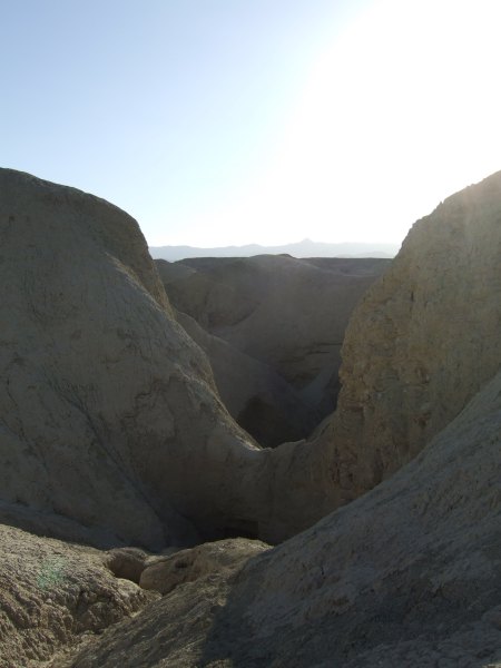
Looking towards the east, the view was stark.
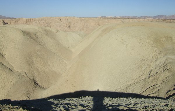
We walked over to the edge to look down at the cavern opening, which is in the shadow. Our shadows can be seen on the "ridge."

We made our way down to the vehicle through the soft, powdery soil, which billowed out in front of our feet as a cool breeze came downhill behind us. From there, we drove to the opening for "Mudcave Cookie Tin." Although I didn't see a Greyhound bus parked in the washl, there was sure a "busload" of people traveling through the mudcave as we made our way to the "belly crawl" waypoint leading to the cache. I created a bit of a spectacle for some of the kids in the cave as I squirmed through the opening on my belly. One kid exclaimed, "That lady just disppeared up that hole!"
Fisnjack had gone through ahead of me so he could capture my slithering through the narrow opening.

I was glad to get up to the top and back into the silence of the desert at the cache location.
A very old ocotillo plant shelters the old, battered, and dented cookie tin.

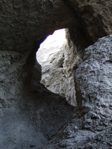
On our way out, we ran into CTYankee9 and while waiting for him to return, I took this picture of the cavern's beginning.
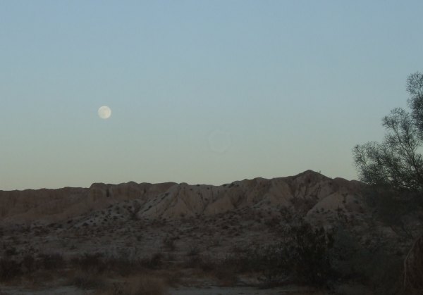
There was one more cache in the area, but it was two and a half miles, as the crow flies, to the north, so we decided to head back, and I was glad we did. I got this picture of the full moon rising above the silent desert.
It sure was a great day. The temperature was in the 70's, there was only a breeze, and not the strong wind I had worried about earlier in the week, plus we found a nice "menu" of caches, two "Historic" caches on "Version 2.0," a "Puzzle" cache by the DAK girls, a Terracache, and three Benchmarks.
I got home in plenty of time to get a good night's sleep in preparation for a trip to the desert tomorrow . . . but, since my knee hurt a bit today, I didn't make actual plans . . . in other words, I didn't set my alarm for 4:00 in the morning . . . I enjoy the desert, but I'm not crazy, and didn't want to be the one to slow the other group down as they made their way to the "Trestle" cache, and possibly a couple of others on "Version 2.0 of 'Historic' Caches" . . .
The hike to "LOST" was just over a mile over the open desert. We went cross-country for a while, then walked up a wash for a ways until we had to make a little climb up to the top where there was a benchmark inscribed with "LOST," and where there was a peak log to sign. The view of the badlands from that vantage point was fantastic and the early-morning light made the features stand out.

After returning to the truck, we drove up the wash a little more than a mile and parked only 500' away from "top dog," a newer cache placed near one of the older caches in the County. It was placed near a knife-edged ridge that dropped almost straight down into the wide wash below.

The older cache, called "Overland," was placed by Florian. We didn't go overland to get to it as he did when he placed it. We walked from "top dog," climbing up a treacherous hill covered with loose rocks that made the going not so fun . . . but we made it, eventually.
We walked to two neaby benchmarks which we photographed with our GPSrs so we could log them either on Geocaching.com or Waymarking.com. One was marked VALLE, the other was a reference mark for GUAD . . . confusing, yup! I wonder where GUAD is?

From there, we took a different route down from the ridge because I really didn't want to go down the way we came up . . . that climb was treacherous. After returning to the truck, we had only a short distance to drive up this wash to get to a brand new cache at "Hollywood and Vine."

We were surprised no one had signed the log before us, so we got an unexpected FTF.
After re-hiding the cache and walking back to the vehicle, we turned around and headed back to the other wash in order to get to the parking for "Tomb Raider." This time, since we did a thorough search of the "tomb" the last time, we took the trail that goes up, up, up the mudhills. There were holes in places, so we stayed on the "tested" trail, not wanting to risk falling through the ceiling of the mudcaves and caverns beneath us.
I took the hard way to the cache, following the arrow on my GPSr, while fisnjack followed the trail -- a role reversal. He is usually the "follow-the-arrow" guy. The mudhills above the long cavern that is the tomb were interesting in the late-afternoon light.
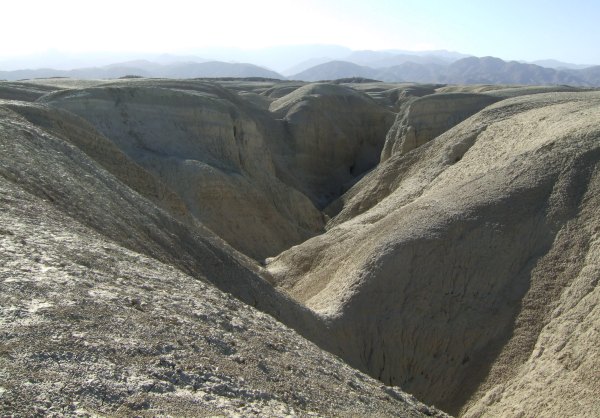
Looking towards the east, the view was stark.

We walked over to the edge to look down at the cavern opening, which is in the shadow. Our shadows can be seen on the "ridge."

We made our way down to the vehicle through the soft, powdery soil, which billowed out in front of our feet as a cool breeze came downhill behind us. From there, we drove to the opening for "Mudcave Cookie Tin." Although I didn't see a Greyhound bus parked in the washl, there was sure a "busload" of people traveling through the mudcave as we made our way to the "belly crawl" waypoint leading to the cache. I created a bit of a spectacle for some of the kids in the cave as I squirmed through the opening on my belly. One kid exclaimed, "That lady just disppeared up that hole!"
Fisnjack had gone through ahead of me so he could capture my slithering through the narrow opening.

I was glad to get up to the top and back into the silence of the desert at the cache location.

A very old ocotillo plant shelters the old, battered, and dented cookie tin.

On our way out, we ran into CTYankee9 and while waiting for him to return, I took this picture of the cavern's beginning.
There was one more cache in the area, but it was two and a half miles, as the crow flies, to the north, so we decided to head back, and I was glad we did. I got this picture of the full moon rising above the silent desert.

It sure was a great day. The temperature was in the 70's, there was only a breeze, and not the strong wind I had worried about earlier in the week, plus we found a nice "menu" of caches, two "Historic" caches on "Version 2.0," a "Puzzle" cache by the DAK girls, a Terracache, and three Benchmarks.
I got home in plenty of time to get a good night's sleep in preparation for a trip to the desert tomorrow . . . but, since my knee hurt a bit today, I didn't make actual plans . . . in other words, I didn't set my alarm for 4:00 in the morning . . . I enjoy the desert, but I'm not crazy, and didn't want to be the one to slow the other group down as they made their way to the "Trestle" cache, and possibly a couple of others on "Version 2.0 of 'Historic' Caches" . . .


